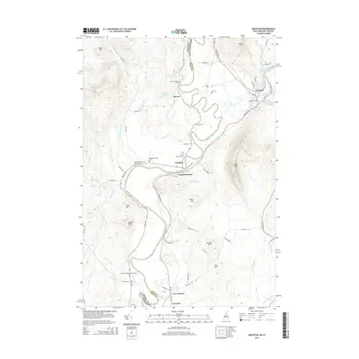
2015 Map of Groveton
USGS Topo · Published 2015About this map
The Connecticut River serves as the primary geographic and political boundary in this 2015 study, separating Essex Co in Vermont from Coos Co in New Hampshire. Along its winding path, several historic settlements define the local economy and social structure, including the prominent villages of Groveton and Lancaster. The landscape is dotted with numerous small family and community burial sites, such as the Keith-Crawford-North Burial Ground, Ridgewell-Central Cem, and Court House Hill Cem, which provide significant value for genealogical research in this river valley region.
Find a feature on this map
73 named features on this map. Tap any name to fly to it.
Don’t see what you’re looking for? This feature index may not catch every label — zoom into the map to look around manually.
Map Details
Editions of this 2015 Groveton Map
This is the sole edition of this map. No revisions or reprints were ever made.
Other maps of this area

1893 · Mt. Washington
USGS Topo · 1:62,500

1896 · Mt. Washington
USGS Topo · 1:62,500

1900 · Whitefield
USGS Topo · 1:62,500

1920 · Guildhall
USGS Topo · 1:62,500

1930 · Percy
USGS Topo · 1:62,500

1931 · Guildhall
USGS Topo · 1:48,000

1933 · Guildhall
USGS Topo · 1:48,000

1934 · Percy
USGS Topo · 1:62,500

1935 · Whitefield
USGS Topo · 1:48,000

1935 · Mt. Washington
USGS Topo · 1:62,500