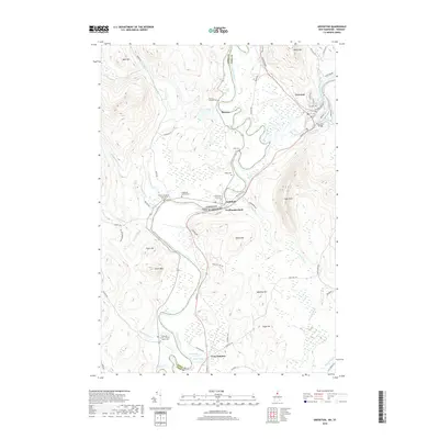
2018 Map of Groveton
USGS Topo · Published 2018About this map
Groveton and Northumberland anchor this reach of the upper Connecticut River valley, where the water forms the border between New Hampshire and Vermont. The landscape is defined by the winding course of the Connecticut River as it passes between Beech Hill and Cape Horn, creating a floodplain rich with small ponds like Stevens Pond and Baker Pond. This 2018 survey reveals a territory with deep genealogical roots, marked by numerous family-named burial sites including the Keith - Crawford - North Burial Ground, the Stevens - McDade Cem, and the Riverside - Smart - Fellows - South Cem. The transportation network is concentrated near Coos Junction, where rail lines and roads like Main St follow the river's path, connecting these historic river towns and providing access to the higher elevations of Bald Mtn and Morse Mtn.
Find a feature on this map
67 named features on this map. Tap any name to fly to it.
Don’t see what you’re looking for? This feature index may not catch every label — zoom into the map to look around manually.
Map Details
Editions of this 2018 Groveton Map
This is the sole edition of this map. No revisions or reprints were ever made.
Other maps of this area

1893 · Mt. Washington
USGS Topo · 1:62,500

1896 · Mt. Washington
USGS Topo · 1:62,500

1900 · Whitefield
USGS Topo · 1:62,500

1920 · Guildhall
USGS Topo · 1:62,500

1930 · Percy
USGS Topo · 1:62,500

1931 · Guildhall
USGS Topo · 1:48,000

1933 · Guildhall
USGS Topo · 1:48,000

1934 · Percy
USGS Topo · 1:62,500

1935 · Whitefield
USGS Topo · 1:48,000

1935 · Mt. Washington
USGS Topo · 1:62,500