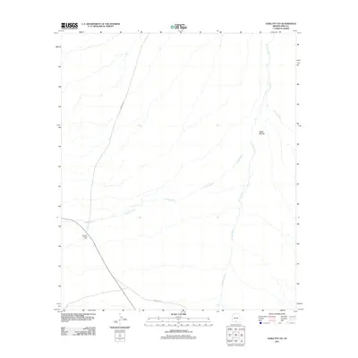
2011 Map of Gurli Put Vo
USGS Topo · Published 2011About this map
Gurli Put Vo and the surrounding desert landscape of the Gu Achi District are defined by a complex network of ephemeral drainage systems in this Pima County survey. The most prominent watercourses, Quijotoa Wash, Ak Chin Wash, and Ko Vaya Wash, create a braided pattern across the alluvial plains, illustrating the hydrologic character of the Sonoran Desert. Transportation through this remote region is anchored by Indian Rte 15 and Indian Rte 232, which intersect near the historic Quijotoa Trading Post. The placement of these routes and the trading post reflects the long-standing reliance on specific corridors for movement and commerce within the Tohono O'odham Nation territory, where modern infrastructure follows established paths through the desert floor.
Find a feature on this map
7 named features on this map. Tap any name to fly to it.
Don’t see what you’re looking for? This feature index may not catch every label — zoom into the map to look around manually.
Map Details
Editions of this 2011 Gurli Put Vo Map
This is the sole edition of this map. No revisions or reprints were ever made.
Other maps of this area

1934 · Silver Bell
USGS Topo · 1:125,000

1937 · Comobabi
USGS Topo · 1:48,000

1942 · Comobabi
USGS Topo · 1:62,500

1953 · Ajo
USGS Topo · 1:250,000

1956 · Tucson
USGS Topo · 1:250,000

1957 · Ajo
USGS Topo · 1:250,000

1958 · Ajo
USGS Topo · 1:250,000

1958 · Tucson
USGS Topo · 1:250,000

1959 · Tucson
USGS Topo · 1:250,000

1962 · Ajo
USGS Topo · 1:250,000