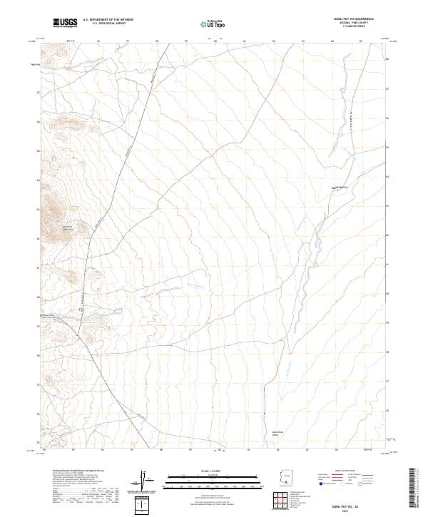
2021 Map of Gurli Put Vo
USGS Topo · Published 2021About this map
Gurli Put Vo sits as a central settlement within this portion of Pima County, positioned where the Santa Rosa Valley meets the lower elevations of the Brownell Mountains. The landscape is defined by an intricate network of drainage channels, including the Quijotoa Wash, Ko Vaya Wash, and Ak Chin Wash, which illustrate the natural hydrology of the Sonoran desert floor. These washes often dictate the path of local infrastructure, such as Indian Rte 15, which serves as a primary north-south corridor through the reservation lands.
Find a feature on this map
19 named features on this map. Tap any name to fly to it.
Don’t see what you’re looking for? This feature index may not catch every label — zoom into the map to look around manually.
Map Details
Editions of this 2021 Gurli Put Vo Map
This is the sole edition of this map. No revisions or reprints were ever made.
Other maps of this area

1934 · Silver Bell
USGS Topo · 1:125,000

1937 · Comobabi
USGS Topo · 1:48,000

1942 · Comobabi
USGS Topo · 1:62,500

1953 · Ajo
USGS Topo · 1:250,000

1956 · Tucson
USGS Topo · 1:250,000

1957 · Ajo
USGS Topo · 1:250,000

1958 · Ajo
USGS Topo · 1:250,000

1958 · Tucson
USGS Topo · 1:250,000

1959 · Tucson
USGS Topo · 1:250,000

1962 · Ajo
USGS Topo · 1:250,000