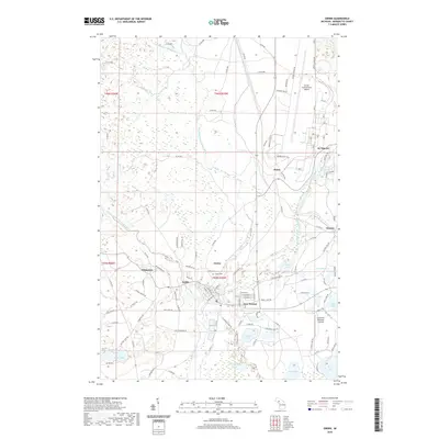
2019 Map of Gwinn
USGS Topo · Published 2019About this map
The East Branch Escanaba River and the Middle Branch Escanaba River converge near the company-planned town of Gwinn, a central hub in Marquette County's history. This 2019 survey illustrates the dense cluster of settlements that grew around the region's iron mining heritage, including Austin, Princeton, and New Swanzy. The transition from industrial roots to modern aviation is evident in the northern portion of the map, where the sprawling Sawyer International Airport occupies the former military site at K I Sawyer, complete with its distinct residential grid and Bomber Alert Rd.
Find a feature on this map
127 named features on this map. Tap any name to fly to it.
Don’t see what you’re looking for? This feature index may not catch every label — zoom into the map to look around manually.
Map Details
Editions of this 2019 Gwinn Map
This is the sole edition of this map. No revisions or reprints were ever made.
Other maps of this area

1932 · Helena NW
USGS Topo · 1:31,680

1932 · Helena NE
USGS Topo · 1:31,680

1932 · Harvey NW
USGS Topo · 1:31,680

1932 · Harvey SE
USGS Topo · 1:31,680

1932 · Harvey SW
USGS Topo · 1:31,680

1932 · Harvey NE
USGS Topo · 1:31,680

1951 · Helena NE
USGS Topo · 1:31,680

1951 · Helena NW
USGS Topo · 1:31,680

1952 · Sands
USGS Topo · 1:24,000

1952 · Ishpeming
USGS Topo · 1:62,500