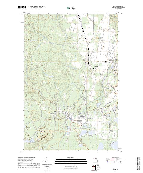
2023 Map of Gwinn
USGS Topo · Published 2023About this map
The confluence of the East Branch Escanaba River and the Middle Branch Escanaba River anchors this study of Marquette County's interior. The settlement pattern here reflects the region's industrial and military legacy, ranging from the concentrated residential streets of Gwinn and New Swanzy to the expansive layout of Sawyer International Airport. Historical transport corridors are evident in the Up8 Trl and the Powers-arnold Route Trl, which follow former rail alignments that once served the local timber and mining interests. Small settlements like Princeton and Austin sit near the river forks, while the eastern portion of the map is dominated by a dense network of glacial lakes including Johnson Lake, Noren Lake, and Slough Lake. The presence of the Gwinn Cem and smaller private flight facilities like the Lesterson-Dempsey Airstrip provide specific points of interest for local historians and genealogists tracing family footprints in the Upper Peninsula.
Find a feature on this map
131 named features on this map. Tap any name to fly to it.
Don’t see what you’re looking for? This feature index may not catch every label — zoom into the map to look around manually.
Map Details
Editions of this 2023 Gwinn Map
This is the sole edition of this map. No revisions or reprints were ever made.
Other maps of this area

1932 · Helena NW
USGS Topo · 1:31,680

1932 · Helena NE
USGS Topo · 1:31,680

1932 · Harvey NW
USGS Topo · 1:31,680

1932 · Harvey SE
USGS Topo · 1:31,680

1932 · Harvey SW
USGS Topo · 1:31,680

1932 · Harvey NE
USGS Topo · 1:31,680

1951 · Helena NE
USGS Topo · 1:31,680

1951 · Helena NW
USGS Topo · 1:31,680

1952 · Sands
USGS Topo · 1:24,000

1952 · Ishpeming
USGS Topo · 1:62,500