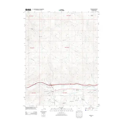
2013 Map of Gypsum
USGS Topo · Published 2013About this map
The town of Gypsum serves as the central hub of this mountain landscape, concentrated along the Eagle River corridor and its south-flowing tributaries like Gypsum Creek. This survey captures the town's modern footprint including the Eagle County Regional Airport and the residential expansion of the Cotton Ranch area. Significant irrigation infrastructure is mapped along the river valley, with the Casper Schumm Ditch, Stremme and Gates Ditch, and CKP Ditch illustrating the complex water management required for agriculture and development in this arid high-country environment.
Find a feature on this map
51 named features on this map. Tap any name to fly to it.
Don’t see what you’re looking for? This feature index may not catch every label — zoom into the map to look around manually.
Map Details
Editions of this 2013 Gypsum Map
This is the sole edition of this map. No revisions or reprints were ever made.
Other maps of this area
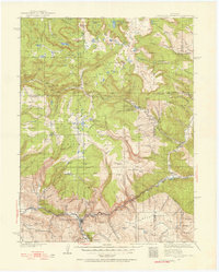
1927 · Glenwood Springs
USGS Topo · 1:125,000
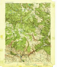
1930 · Glenwood Springs
USGS Topo · 1:125,000
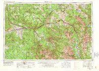
1957 · Leadville
USGS Topo · 1:250,000
1959 · Leadville
USGS Topo · 1:250,000
1960 · Leadville
USGS Topo · 1:250,000
1961 · Cottonwood Pass
USGS Topo · 1:24,000
1962 · Leadville
USGS Topo · 1:250,000
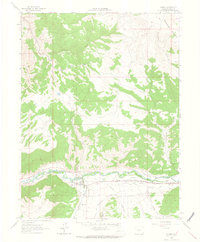
1962 · Gypsum
USGS Topo · 1:24,000
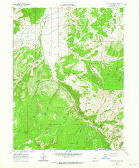
1962 · Suicide Mountain
USGS Topo · 1:24,000
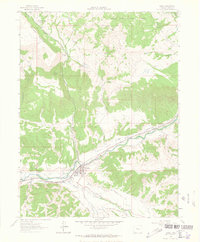
1962 · Eagle
USGS Topo · 1:24,000