2021 Map of Hackberry
USGS Topo · Published 2021About this map
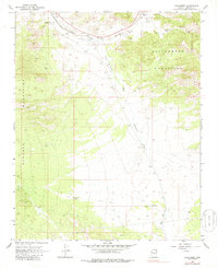
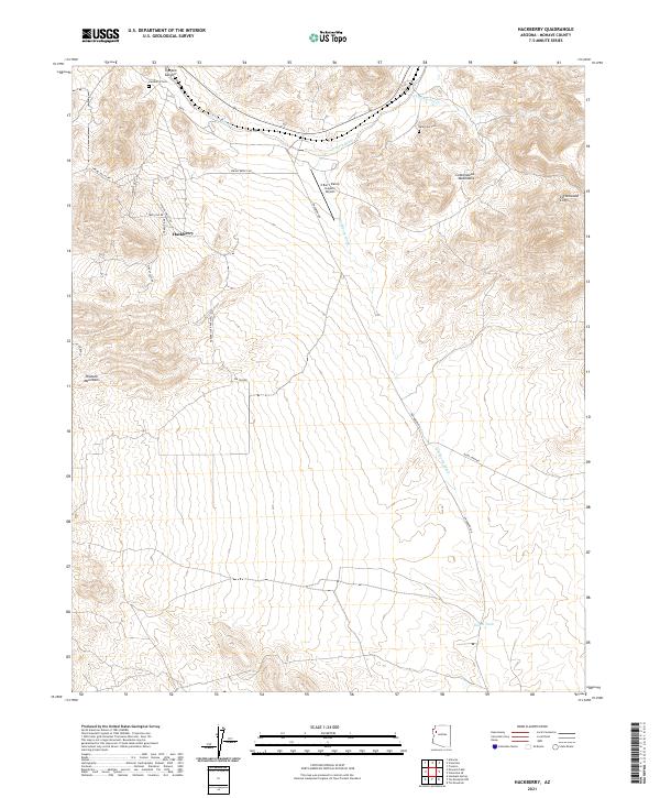
Hackberry sits at the junction of mountain and wash, serving as a focal point for the ranching and transport routes through Mohave County. The landscape is defined by the high relief of the Peacock Mountains to the west and the Cottonwood Mountains to the east, with the dramatic rise of the Cottonwood Cliffs overlooking the valley floor. Settlement is sparse, anchored by the townsite and the X Bar 1 Ranch (Lower) Airport, while water management is evidenced by Bacon Tank and the seasonal courses of Truxton Wash and Hackberry Wash. Genealogists and local historians can find points of interest at the Hackberry Cem near Truxton Canyon and the Valentine Cem further east, both marking the generational presence of residents in this high-desert environment. The network of local roads like Spring Valley Rd and Hackberry Rd provides a detailed look at contemporary access to the foothills.
Find a feature on this map
26 named features on this map. Tap any name to fly to it.
Don’t see what you’re looking for? This feature index may not catch every label — zoom into the map to look around manually.
Map Details
Editions of this 2021 Hackberry Map
This is the sole edition of this map. No revisions or reprints were ever made.