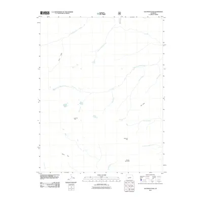
2011 Map of Halfmoon Pass
USGS Topo · Published 2011About this map
Wheeler Monument sits at the southern edge of this high-elevation quadrangle, marking a landscape defined by significant drainage divides and geological features. The map illustrates a complex network of waterways flowing from the slopes of La Garita Peak and Twin Peaks, including the headwaters of the Middle Fork Saguache Creek and Cochetopa Creek. This 2011 survey documents the remote character of Saguache County, where names like Cañon Diablo and Halfmoon Pass indicate the early pathfinding and exploration routes through the area. Water features are particularly prominent, from the high-altitude Machin Lake and Benito Lake to the clustered Beaver Ponds along Machin Creek. Notable landmarks such as Saguache Falls and the open expanse of Wason Park provide distinct navigational points for researchers tracking the geography of the San Juan Mountains and La Garita Wilderness region.
Find a feature on this map
24 named features on this map. Tap any name to fly to it.
Don’t see what you’re looking for? This feature index may not catch every label — zoom into the map to look around manually.
Map Details
Editions of this 2011 Halfmoon Pass Map
This is the sole edition of this map. No revisions or reprints were ever made.
Other maps of this area

1914 · Creede
USGS Topo · 1:125,000

1916 · Creede
USGS Topo · 1:125,000

1945 · Durango
USGS Topo · 1:250,000

1953 · Durango
USGS Topo · 1:250,000

1954 · Durango
USGS Topo · 1:250,000

1956 · Montrose
USGS Topo · 1:250,000

1959 · Montrose
USGS Topo · 1:250,000

1959 · Creede
USGS Topo · 1:62,500

1960 · Montrose
USGS Topo · 1:250,000

1961 · Durango
USGS Topo · 1:250,000