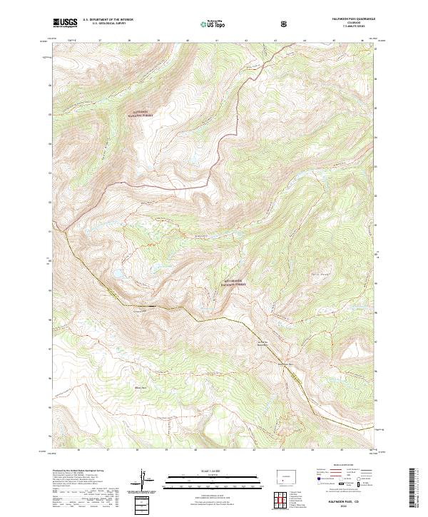
2022 Map of Halfmoon Pass
USGS Topo · Published 2022About this map
The high mountain divide between Gunnison National Forest and Rio Grande National Forest defines this landscape. At the center of the survey lies Halfmoon Pass, a key notch in the La Garita Mountains that has long served as a passage between the Cochetopa and Saguache watersheds. This high-altitude terrain is characterized by prominent summits like La Garita Peak and Twin Peaks, which overlook a network of alpine basins including Wason Park.
Find a feature on this map
44 named features on this map. Tap any name to fly to it.
Don’t see what you’re looking for? This feature index may not catch every label — zoom into the map to look around manually.
Map Details
Editions of this 2022 Halfmoon Pass Map
This is the sole edition of this map. No revisions or reprints were ever made.
Other maps of this area

1914 · Creede
USGS Topo · 1:125,000

1916 · Creede
USGS Topo · 1:125,000

1945 · Durango
USGS Topo · 1:250,000

1953 · Durango
USGS Topo · 1:250,000

1954 · Durango
USGS Topo · 1:250,000

1956 · Montrose
USGS Topo · 1:250,000

1959 · Montrose
USGS Topo · 1:250,000

1959 · Creede
USGS Topo · 1:62,500

1960 · Montrose
USGS Topo · 1:250,000

1961 · Durango
USGS Topo · 1:250,000