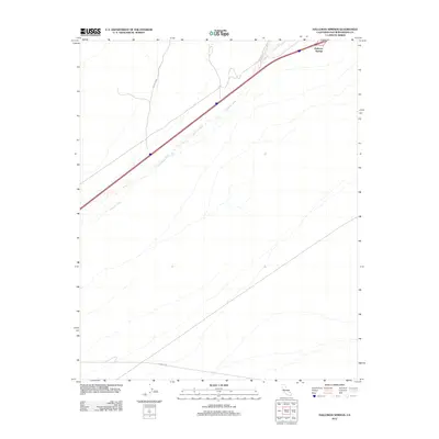
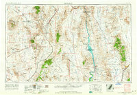
2012 Map of Halloran Springs
USGS Topo · Published 2012About this map
Halloran Springs serves as a focal point in this high-desert landscape within San Bernardino County. The settlement is positioned along a vital transportation corridor, where the modern interstate and Co Hwy 20902 cut across the arid terrain. The natural drainage patterns of the Mojave are defined by the broad courses of Halloran Wash and Bull Spring Wash, which shape the alluvial fans and low-lying areas of the quadrangle. In the southern reaches of the map, the long stretch of Kelbaker Rd provides a critical north-south connection through the desert. This 2012 survey captures the intersection of desert infrastructure and the seasonal watercourses that dictate the layout of roads and settlements in this part of California.
Find a feature on this map
5 named features on this map. Tap any name to fly to it.
Don’t see what you’re looking for? This feature index may not catch every label — zoom into the map to look around manually.
Map Details
Editions of this 2012 Halloran Springs Map
This is the sole edition of this map. No revisions or reprints were ever made.
Other maps of this area
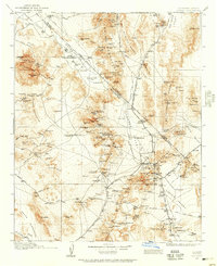
1910 · Ivanpah
USGS Topo · 1:250,000
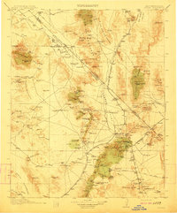
1912 · Ivanpah
USGS Topo · 1:250,000
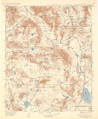
1933 · Avawatz Mountains
USGS Topo · 1:250,000
1942 · Ivanpah
USGS Topo · 1:250,000
1947 · Trona
USGS Topo · 1:250,000

1947 · Kingman
USGS Topo · 1:250,000

1948 · Kingman
USGS Topo · 1:250,000
1948 · Trona
USGS Topo · 1:250,000
1953 · Trona
USGS Topo · 1:250,000
1954 · Kingman
USGS Topo · 1:250,000