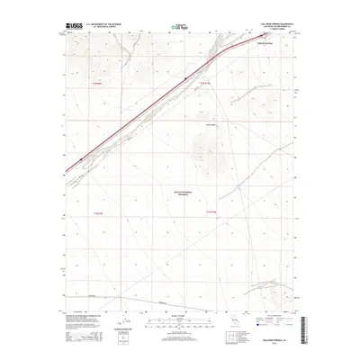
2015 Map of Halloran Springs
USGS Topo · Published 2015About this map
Halloran Springs serves as the primary landmark in this section of the Mojave Desert, positioned at the junction where Park Ave meets the corridor of Interstate 15. The terrain is defined by the drainage of Halloran Wash, which cuts across the landscape toward the preserve. Significant acreage falls within the Mojave National Preserve, which occupies the southern half of the quadrangle. The map documents the sparse infrastructure of this arid region, showing the paths of remote desert thoroughfares such as Kelbaker Rd and the straight-line boundaries of townships like t15n r10e. This 2015 survey provides a modern snapshot of land management and travel routes through one of California's most protected environments.
Find a feature on this map
11 named features on this map. Tap any name to fly to it.
Don’t see what you’re looking for? This feature index may not catch every label — zoom into the map to look around manually.
Map Details
Editions of this 2015 Halloran Springs Map
This is the sole edition of this map. No revisions or reprints were ever made.
Other maps of this area

1910 · Ivanpah
USGS Topo · 1:250,000

1912 · Ivanpah
USGS Topo · 1:250,000

1933 · Avawatz Mountains
USGS Topo · 1:250,000

1942 · Ivanpah
USGS Topo · 1:250,000

1947 · Trona
USGS Topo · 1:250,000

1947 · Kingman
USGS Topo · 1:250,000

1948 · Kingman
USGS Topo · 1:250,000

1948 · Trona
USGS Topo · 1:250,000

1953 · Trona
USGS Topo · 1:250,000

1954 · Kingman
USGS Topo · 1:250,000