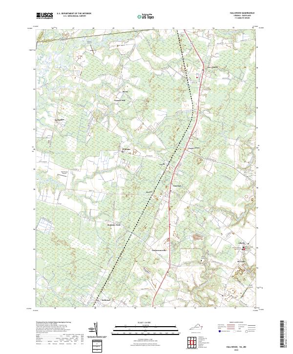
2022 Map of Hallwood
USGS Topo · Published 2022About this map
The Maryland-Virginia state line bisects this portion of the Delmarva Peninsula, marking the boundary between Worcester Co and Accomack Co. The landscape is defined by low-lying wetlands and a network of creeks like Pitts Creek and Bullbegger Creek that feed into the Chesapeake Bay watershed. Small communities and named crossroads such as New Church, Oak Hall, and Temperanceville are connected by a grid of rural roads, reflecting the agricultural and maritime character of the Eastern Shore. Several small aviation sites, including Sawyer Airport and High Hopes Airport, are scattered across the terrain, alongside historic family and community landmarks.
Find a feature on this map
98 named features on this map. Tap any name to fly to it.
Don’t see what you’re looking for? This feature index may not catch every label — zoom into the map to look around manually.
Map Details
Editions of this 2022 Hallwood Map
This is the sole edition of this map. No revisions or reprints were ever made.
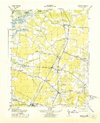
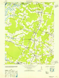
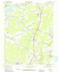
Historical Maps of Tunnels Mill Through Time
4 maps found