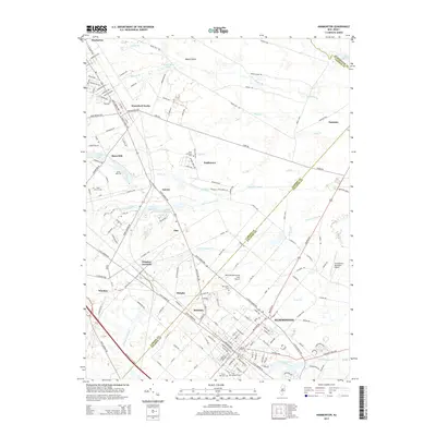
2014 Map of Hammonton
USGS Topo · Published 2014About this map
Hammonton serves as the primary hub of this landscape, surrounded by a network of smaller communities including Waterford Works, Winslow Junction, and Rosedale. The region is defined by its extensive drainage network, where numerous branches and brooks such as Blue Anchor Brook, Great Swamp Br, and Sleeper Br thread through the low-lying terrain. These waterways feed into larger bodies like Hammonton Lake and Atsion Lake, reflecting the hydrological character of the New Jersey Pinelands.
Find a feature on this map
172 named features on this map. Tap any name to fly to it.
Don’t see what you’re looking for? This feature index may not catch every label — zoom into the map to look around manually.
Map Details
Editions of this 2014 Hammonton Map
This is the sole edition of this map. No revisions or reprints were ever made.
Other maps of this area

1888 · Pemberton
USGS Topo · 1:62,500

1888 · Mount Holly
USGS Topo · 1:62,500

1890 · Hammonton
USGS Topo · 1:62,500

1890 · Mullica
USGS Topo · 1:62,500

1894 · Hammonton
USGS Topo · 1:62,500

1894 · Pemberton
USGS Topo · 1:62,500

1894 · Mount Holly
USGS Topo · 1:62,500

1894 · Mullica
USGS Topo · 1:62,500

1898 · Pemberton
USGS Topo · 1:62,500

1898 · Mount Holly
USGS Topo · 1:62,500