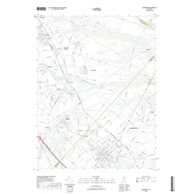
2019 Map of Hammonton
USGS Topo · Published 2019About this map
Hammonton serves as the primary hub of this South Jersey landscape, where the dense street grid of the town center transitions into the surrounding agricultural and wooded areas of Camden and Atlantic counties. The map highlights a significant concentration of local history markers, including Saint Anthonys Cem, Oak Grove Cem, and Greenmount Cem. A complex network of water features, such as the Sleeper Branch, Albertson Brook, and Great Swamp Br, underscores the wetlands character of the region.
Find a feature on this map
188 named features on this map. Tap any name to fly to it.
Don’t see what you’re looking for? This feature index may not catch every label — zoom into the map to look around manually.
Map Details
Editions of this 2019 Hammonton Map
This is the sole edition of this map. No revisions or reprints were ever made.
Other maps of this area

1888 · Pemberton
USGS Topo · 1:62,500

1888 · Mount Holly
USGS Topo · 1:62,500

1890 · Hammonton
USGS Topo · 1:62,500

1890 · Mullica
USGS Topo · 1:62,500

1894 · Hammonton
USGS Topo · 1:62,500

1894 · Pemberton
USGS Topo · 1:62,500

1894 · Mount Holly
USGS Topo · 1:62,500

1894 · Mullica
USGS Topo · 1:62,500

1898 · Pemberton
USGS Topo · 1:62,500

1898 · Mount Holly
USGS Topo · 1:62,500