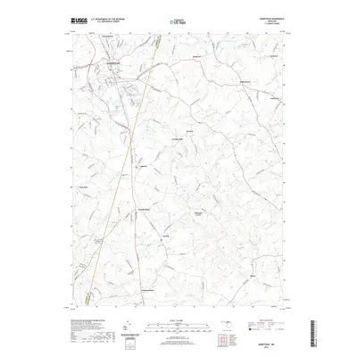
2019 Map of Hampstead
USGS Topo · Published 2019About this map
Hampstead and its surrounding rural landscapes are captured here along the border of Carroll and Baltimore Counties. The area's settlement pattern follows the high ground of Hanover Pike, where towns like Upperco, Fowblesburg, and Boring developed as key stops between larger hubs. The landscape is deeply carved by watercourses, including Prettyboy Br and Blackrock Run, which historically powered local industry at sites like Trenton Mill.
Find a feature on this map
122 named features on this map. Tap any name to fly to it.
Don’t see what you’re looking for? This feature index may not catch every label — zoom into the map to look around manually.
Map Details
Editions of this 2019 Hampstead Map
This is the sole edition of this map. No revisions or reprints were ever made.
Other maps of this area

1892 · Ellicott
USGS Topo · 1:62,500

1894 · Ellicott
USGS Topo · 1:62,500

1894 · Baltimore
USGS Topo · 1:62,500

1899 · Baltimore
USGS Topo · 1:62,500

1900 · Parkton
USGS Topo · 1:62,500

1902 · Parkton
USGS Topo · 1:62,500

1904 · Baltimore
USGS Topo · 1:62,500

1905 · Westminster
USGS Topo · 1:62,500

1906 · Ellicott
USGS Topo · 1:62,500

1908 · Patapsco
USGS Topo · 1:125,000