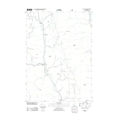
2012 Map of Hancock
USGS Topo · Published 2012About this map
The White River valley carves through this portion of Addison County, anchoring the settlements of Hancock and Granville. In the early 21st century, this landscape remains defined by its narrow valley corridors and the steep rise of Braintree Mountain and Hancock Mountain. Genealogists will find a high concentration of burial sites, including the Old Village Cem, South Hollow Cem, and Elmwood Cem, which document the long-standing family lineages of these mountain hollows.
Find a feature on this map
81 named features on this map. Tap any name to fly to it.
Don’t see what you’re looking for? This feature index may not catch every label — zoom into the map to look around manually.
Map Details
Editions of this 2012 Hancock Map
This is the sole edition of this map. No revisions or reprints were ever made.
Other maps of this area

1915 · Rochester
USGS Topo · 1:62,500

1917 · Rochester
USGS Topo · 1:62,500

1919 · Royalton
USGS Topo · 1:62,500

1919 · Lincoln Mountain
USGS Topo · 1:62,500

1920 · Lincoln Mountain
USGS Topo · 1:48,000

1921 · Lincoln Mountain
USGS Topo · 1:62,500

1922 · Barre
USGS Topo · 1:48,000

1924 · Barre
USGS Topo · 1:62,500

1924 · Randolph
USGS Topo · 1:48,000

1926 · Randolph
USGS Topo · 1:62,500