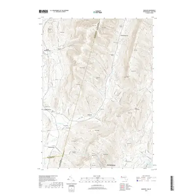
2018 Map of Hancock
USGS Topo · Published 2018About this map
The Taconic Range defines the high-elevation boundary between New York and Massachusetts, creating a series of deep hollows and steep ridges. Settlements like Hancock and Stephentown occupy the lower valleys, where Kinderhook Cr and Wyomanock Cr provide drainage for the surrounding slopes. The terrain is marked by prominent peaks, including Jiminy Peak, Potter Mtn, and Misery Mtn, while family-named features like Gardner Hollow and Robinson Hollow reflect the agricultural and timber-based legacy of the region. Local history is anchored at sites such as Saint Josephs Cem and the Hancock Cem. The southeastern corner transitions toward Pittsfield, reaching the shores of Pontoosuc Lake. This modern survey details the intricate road networks, from Potter Mountain RD to Brodie Mountain RD, that navigate the complex topography of the Berkshire Hills.
Find a feature on this map
98 named features on this map. Tap any name to fly to it.
Don’t see what you’re looking for? This feature index may not catch every label — zoom into the map to look around manually.
Map Details
Editions of this 2018 Hancock Map
This is the sole edition of this map. No revisions or reprints were ever made.
Other maps of this area

1886 · Greylock
USGS Topo · 1:62,500

1886 · Becket
USGS Topo · 1:62,500

1888 · Becket
USGS Topo · 1:62,500

1888 · Berlin
USGS Topo · 1:62,500

1888 · Pittsfield
USGS Topo · 1:62,500

1890 · Pittsfield
USGS Topo · 1:62,500

1890 · Berlin
USGS Topo · 1:62,500

1891 · Greylock
USGS Topo · 1:62,500

1893 · Becket
USGS Topo · 1:62,500

1893 · Greylock
USGS Topo · 1:62,500