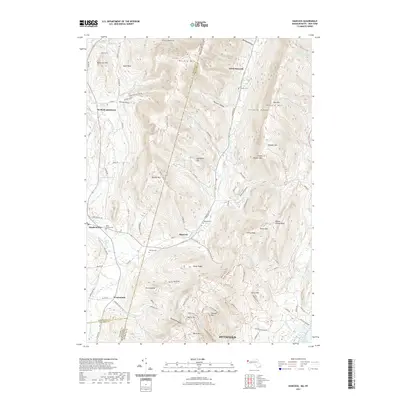
2021 Map of Hancock
USGS Topo · Published 2021About this map
Hancock and the neighboring community of Stephentown anchor this detailed study of the state line between New York and Massachusetts. The high terrain of the Taconic Range dominates the central map, characterized by named peaks such as Jiminy Peak, Brodie Mtn, and Honwee Mtn. The landscape is etched with deep hollows and notches, including Gardner Hollow and Goodrich Hollow, which historically dictated the paths of local travel and settlement.
Find a feature on this map
109 named features on this map. Tap any name to fly to it.
Don’t see what you’re looking for? This feature index may not catch every label — zoom into the map to look around manually.
Map Details
Editions of this 2021 Hancock Map
This is the sole edition of this map. No revisions or reprints were ever made.
Other maps of this area

1886 · Greylock
USGS Topo · 1:62,500

1886 · Becket
USGS Topo · 1:62,500

1888 · Becket
USGS Topo · 1:62,500

1888 · Berlin
USGS Topo · 1:62,500

1888 · Pittsfield
USGS Topo · 1:62,500

1890 · Pittsfield
USGS Topo · 1:62,500

1890 · Berlin
USGS Topo · 1:62,500

1891 · Greylock
USGS Topo · 1:62,500

1893 · Becket
USGS Topo · 1:62,500

1893 · Greylock
USGS Topo · 1:62,500