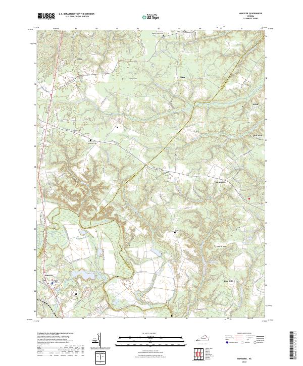
2022 Map of Hanover
USGS Topo · Published 2022About this map
The Pamunkey River winds through this landscape at the junction of Hanover, Caroline, and King William counties, anchoring a network of creek-fed bottomlands and agricultural ridges. The civic heart of the area is represented by the Hanover County Courthouse and Hanover settlement, located near the confluence of Mechumps Creek and the river. This region is characterized by established rural communities such as Etna Mills, Mangohick, and Frog Level, many of which developed around early mill sites and river crossings. Genealogists will find significant local history at the Mount Horeb Baptist Church Cem and Bethel United Methodist Cem. Water features like Gravatts Millpond, Ballard Pond, and Hornquarter Cr illustrate the drainage patterns that have shaped land use and transportation routes like the Richmond Tpke for generations.
Find a feature on this map
81 named features on this map. Tap any name to fly to it.
Don’t see what you’re looking for? This feature index may not catch every label — zoom into the map to look around manually.
Map Details
Editions of this 2022 Hanover Map
This is the sole edition of this map. No revisions or reprints were ever made.
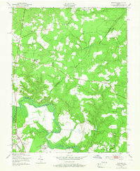
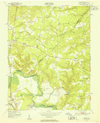
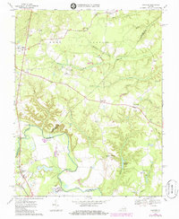
Historical Maps of Mangohick Through Time
4 maps found