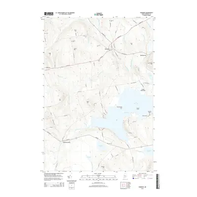
2014 Map of Harmony
USGS Topo · Published 2014About this map
Great Moose Lake dominates the southern landscape of this Somerset County quadrangle, where the waters of the Lemon Stream and Higgins Stream converge. The village of Harmony serves as a central hub, situated where several major local routes like Athens Rd and Cambridge Rd intersect. The topography is defined by a series of significant rises including Mainstream Mtn, Carson Hill, and Leighton Hill, which overlook a network of smaller water bodies such as Starbird Pond and Lake Como. Genealogists will find a wealth of family-named landmarks and several well-distributed burial grounds, including the Dore Hill Cem, Leighton Cem, and Libby Cem. The map provides a look at the rural character of the region, from the residential clusters at Mainstream and Castle Harmony to the remote reaches of Bog Pond and Tuttle Brook.
Find a feature on this map
100 named features on this map. Tap any name to fly to it.
Don’t see what you’re looking for? This feature index may not catch every label — zoom into the map to look around manually.
Map Details
Editions of this 2014 Harmony Map
This is the sole edition of this map. No revisions or reprints were ever made.
Other maps of this area

1913 · Skowhegan
USGS Topo · 1:62,500

1930 · Pittsfield
USGS Topo · 1:48,000

1932 · Pittsfield
USGS Topo · 1:62,500

1933 · Pittsfield
USGS Topo · 1:62,500

1933 · Guilford
USGS Topo · 1:62,500

1937 · Guilford
USGS Topo · 1:62,500

1948 · Bangor
USGS Topo · 1:250,000

1948 · Kingsbury
USGS Topo · 1:62,500

1950 · Kingsbury
USGS Topo · 1:62,500

1954 · Millinocket
USGS Topo · 1:250,000