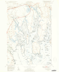
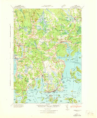
1951 Map of Harrington
USGS Topo · Published 1951About this map
Harrington serves as the hub for this coastal Washington County landscape, where the tides of the Narraguagus River and the Harrington River meet the intricate network of Down East bays. The settlement pattern in 1951 remains tied to the shoreline and the Maine Central railroad corridor, with smaller communities like Dorman, West Harrington, and Marshville supporting the local economy.
Find a feature on this map
128 named features on this map. Tap any name to fly to it.
Don’t see what you’re looking for? This feature index may not catch every label — zoom into the map to look around manually.
Map Details
Editions of this 1951 Harrington Map
2 editions found
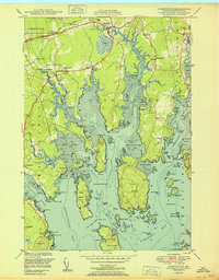
Other maps of this area

1902 · Cherryfield
USGS Topo · 1:62,500

1904 · Cherryfield
USGS Topo · 1:62,500
1904 · Petit Manan
USGS Topo · 1:62,500
1921 · Great Wass Island
USGS Topo · 1:62,500
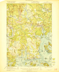
1921 · Columbia Falls
USGS Topo · 1:62,500
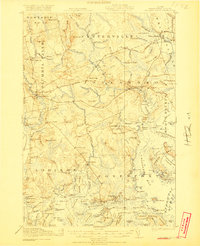
1921 · Columbia Falls
USGS Topo · 1:62,500
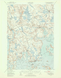
1941 · Columbia Falls
USGS Topo · 1:62,500
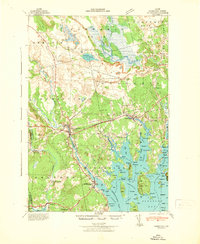
1942 · Cherryfield
USGS Topo · 1:62,500
1942 · Columbia Falls
USGS Topo · 1:62,500
1948 · Columbia Falls
USGS Topo · 1:24,000