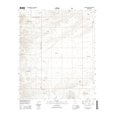
2014 Map of Harrison Canyon
USGS Topo · Published 2014About this map
Sunset stands as a focal point in this high-desert landscape of Graham County, situated near the eastern margins of the Coronado National Forest. The map documents a rugged drainage network where the Galiuro Mountains and Black Hills converge, channeling water through named features like Aravaipa Canyon and Harrison Canyon. This 2014 survey reveals an area defined by sophisticated water management for ranching and wildlife, evidenced by the high density of named tanks such as Flower Ranch Tank, Little Bull Tank, and Hurry Up Tank.
Find a feature on this map
46 named features on this map. Tap any name to fly to it.
Don’t see what you’re looking for? This feature index may not catch every label — zoom into the map to look around manually.
Map Details
Editions of this 2014 Harrison Canyon Map
This is the sole edition of this map. No revisions or reprints were ever made.
Other maps of this area

1938 · Galiuro Mts
USGS Topo · 1:48,000

1940 · Sierra Bonita Ranch
USGS Topo · 1:62,500

1942 · Sierra Bonita Ranch
USGS Topo · 1:62,500

1943 · Galiuro Mts
USGS Topo · 1:62,500

1943 · Sierra Bonita Ranch
USGS Topo · 1:62,500

1943 · Winchester Mts.
USGS Topo · 1:62,500

1945 · Redington
USGS Topo · 1:62,500

1945 · Winchester Mts.
USGS Topo · 1:62,500

1956 · Tucson
USGS Topo · 1:250,000

1957 · Redington
USGS Topo · 1:62,500