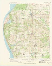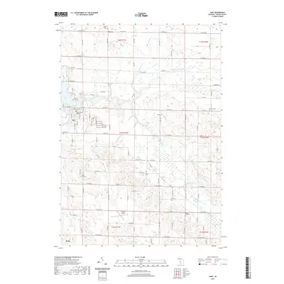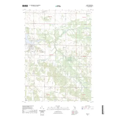
1983 Map of Hart
USGS Topo · Published 1983About this map
The Pentwater River and its tributaries carve a path through this West Michigan landscape, anchoring the community of Hart. The town is well-established here, featuring its local High School, Fairground, and Hospital. The rural surroundings are a patchwork of agricultural sections and family-named landmarks, reflecting the area's mid-century development. Moving north and east, the map reveals smaller settlements like Weare and Halls Corners, along with numerous small cemeteries that serve as vital records for genealogists, including Mt Calvary Cem and Randall Cem.
Find a feature on this map
49 named features on this map. Tap any name to fly to it.
Don’t see what you’re looking for? This feature index may not catch every label — zoom into the map to look around manually.
Map Details
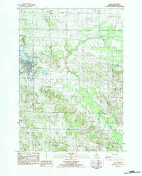
Editions of this 1983 Hart Map
This is the sole edition of this map. No revisions or reprints were ever made.
Historical Maps of Hart Through Time
7 maps found