2023 Map of Hartland
USGS Topo · Published 2023About this map
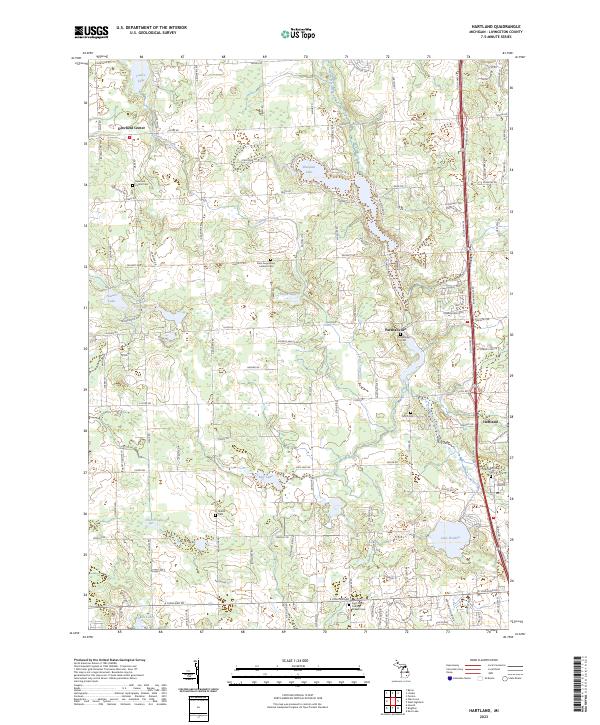
Parshallville and the surrounding Livingston County countryside are characterized by a dense concentration of cemeteries and glacial lakes. This 2023 survey documents the intersection of modern road networks like Old US Hwy 23 with long-standing rural settlements. Local history and genealogy are well-represented by several burial grounds, including the Parshallville Cem, Hartland Village Cem, and Riddle Cem. The landscape is defined by its hydrology, featuring substantial bodies of water such as Lake Walden, Shannon Lake, and Neff Lake, all connected by the winding course of North Ore Creek and Cranberry Creek. Farther north, Deerfield Center serves as another focal point, anchored by the Deerfield Center Cem. The map provides a clear record of the area's religious and civic heritage through landmarks like Saint Augustine's Catholic Cem and Saint John's Catholic Church Cem.
Find a feature on this map
127 named features on this map. Tap any name to fly to it.
Don’t see what you’re looking for? This feature index may not catch every label — zoom into the map to look around manually.
Map Details
Editions of this 2023 Hartland Map
This is the sole edition of this map. No revisions or reprints were ever made.
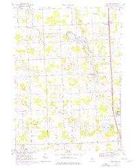
Historical Maps of Tyrone Township Through Time
Featured Locations
- Hartland Township, MI
- Oceola Township, MI
- Tyrone Township, MI
- Deerfield Township, MI
- Parshallville, Hartland Township