Loading...
Loading map...2021 Map of Hartsburg
USGS Topo · Published 2021About this map
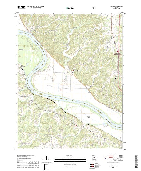
Hartsburg and Claysville anchor this river-bend landscape where the Missouri River carves a wide valley through central Missouri. The contemporary topography illustrates the relationship between the historic river channel and the Katy Trl, which follows the northern bank near the base of the bluffs. These bluffs are punctuated by significant geological landmarks like Little Manitou Rock and Sugar Loaf Rock, which rise above the floodplains of Marion Bottoms.
Find a feature on this map
77 named features on this map. Tap any name to fly to it.
Don’t see what you’re looking for? This feature index may not catch every label — zoom into the map to look around manually.
Map Details
Date Portrayed2021
Date Published2021
PublisherU.S. Geological Survey
Map TypeTopographic
Scale1:24000
Physical Dimensions24 x 29 inches
Editions of this 2021 Hartsburg Map
This is the sole edition of this map. No revisions or reprints were ever made.
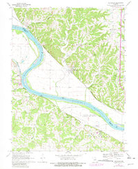
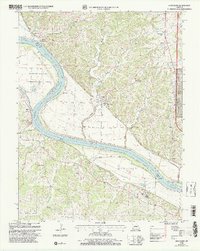
Historical Maps of Marion Through Time
3 maps found
Featured Locations
Source Details
SourceU.S. Geological Survey
CopyrightPublic Domain