2024 Map of Hastings
USGS Topo · Published 2024About this map
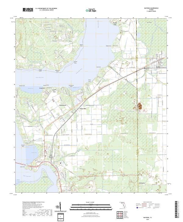
The Saint Johns River forms the central geographic feature of this section of St. Johns and Putnam counties, serving as a boundary for several riverfront settlements. Local communities like Federal Point, Patersonville, and Orange Mills are situated along its eastern banks, while East Palatka sits at a major bend near Devils Elbow. The landscape transitions from the river's edge into the agricultural and wooded interiors of the Hastings area, where the terrain is marked by distinctive hydrological features such as Cracker Swamp and the various branches of Cracker Branch.
Find a feature on this map
136 named features on this map. Tap any name to fly to it.
Don’t see what you’re looking for? This feature index may not catch every label — zoom into the map to look around manually.
Map Details
Editions of this 2024 Hastings Map
This is the sole edition of this map. No revisions or reprints were ever made.
