2022 Map of Hatteras
USGS Topo · Published 2022About this map
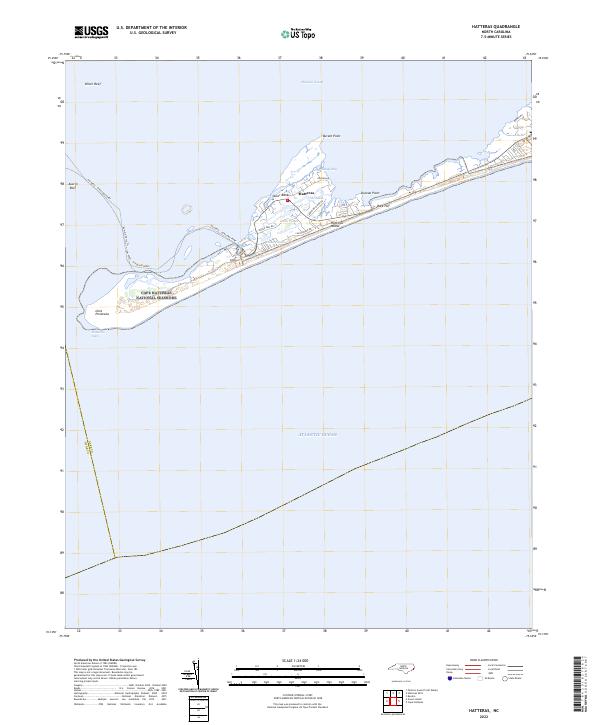
Hatteras Island forms a narrow barrier between the Atlantic Ocean and the shallow waters of Pamlico Sound in this 2022 survey. The village of Hatteras serves as the focal point of the southern Outer Banks, where residential streets like Kohler Rd and Eagle Pass Rd are hemmed in by the marshy environments of The Slash and Isaac Ponds. The map documents the critical maritime transit point at Hatteras Inlet, connecting the ocean to the sound, and the established route of the Hatteras - Ocracoke Ferry which traverses the shoal waters near Austin Reef. Much of the territory is preserved within the Cape Hatteras National Seashore, maintaining the shoreline's character at Inlet Peninsula and across the distinctive points of Durant Point and Duncan Point.
Find a feature on this map
25 named features on this map. Tap any name to fly to it.
Don’t see what you’re looking for? This feature index may not catch every label — zoom into the map to look around manually.
Map Details
Editions of this 2022 Hatteras Map
This is the sole edition of this map. No revisions or reprints were ever made.
Historical Maps of Frisco Through Time
1 maps found