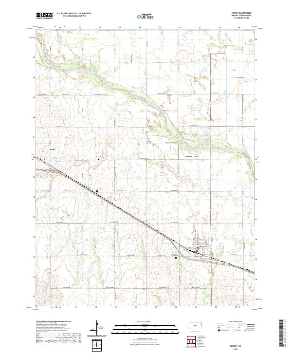
2022 Map of Haven
USGS Topo · Published 2022About this map
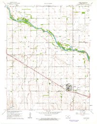
The Arkansas River meanders across the central portion of this Reno County landscape, carving a wide valley through the agricultural plains. To the southwest, the town of Haven serves as a local hub, organized around W Main St and E Main St near the Po. The layout of the town and surrounding grid reflects a long history of settlement, punctuated by community institutions like the Saint Pauls Lutheran Church and its adjacent Saint Pauls Lutheran Cemetery. North of the river, the small community of Yoder stands as another focal point for local history.
Find a feature on this map
48 named features on this map. Tap any name to fly to it.
Don’t see what you’re looking for? This feature index may not catch every label — zoom into the map to look around manually.
Map Details
Editions of this 2022 Haven Map
This is the sole edition of this map. No revisions or reprints were ever made.