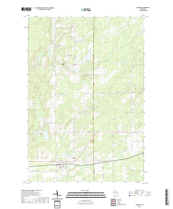
2022 Map of Hawkins
USGS Topo · Published 2022About this map
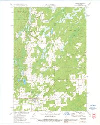
Hawkins anchors the southwestern corner of this survey, situated at the boundary between Rusk and Price Counties. The landscape is defined by an extensive network of small waterways and drainage systems, including Skinner Creek, Old Mill Cr, and the S Fork Main Cr. These streams flow through a terrain heavily partitioned by section lines and rural roads, many of which carry family or descriptive names like Pioneer Rd, Blueberry Rd, and Cranberry Rd. The town itself is centered around the Hawkins Millpond, reflecting the local reliance on the water system for early industry. Genealogists and local historians can locate established burial grounds at Saint Marys Cem to the north and Hillcrest Cem near the town center. The map reveals the gradual transition from the organized street grid of Hawkins into the expansive wetlands and timbered tracts that characterize this portion of northern Wisconsin.
Find a feature on this map
39 named features on this map. Tap any name to fly to it.
Don’t see what you’re looking for? This feature index may not catch every label — zoom into the map to look around manually.
Map Details
Editions of this 2022 Hawkins Map
This is the sole edition of this map. No revisions or reprints were ever made.