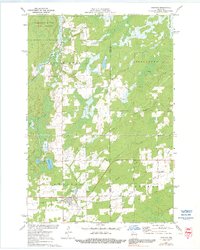
1971 Map of Hawkins
USGS Topo · Published 1991About this map
Hawkins serves as the primary hub of this Northwoods landscape, situated along the Soo Line railroad which historically facilitated the region's timber and agricultural movements. The map illustrates a transition from the dense woodlands of the Flambeau River State Forest in the northwest to a more developed rural grid characterized by numerous family and community landmarks. Genealogists will find notable points of interest such as St Marys Cem and Hillcrest Cem, alongside local spiritual centers like National Ch.
Find a feature on this map
33 named features on this map. Tap any name to fly to it.
Don’t see what you’re looking for? This feature index may not catch every label — zoom into the map to look around manually.
Map Details
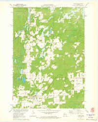
Editions of this 1971 Hawkins Map
2 editions found
Other maps of this area

1941 · Kennan
USGS Topo · 1:48,000

1945 · Kennan
USGS Topo · 1:48,000

1945 · Black River
USGS Topo · 1:48,000

1945 · Ingram
USGS Topo · 1:48,000

1947 · Ingram
USGS Topo · 1:48,000

1947 · Sheldon
USGS Topo · 1:48,000

1949 · Sheldon
USGS Topo · 1:48,000

1949 · Jump River Fire Tower
USGS Topo · 1:48,000

1953 · Rice Lake
USGS Topo · 1:250,000

1959 · Rice Lake
USGS Topo · 1:250,000