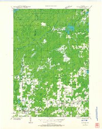
1945 Map of Kennan
USGS Topo · Published 1945About this map
The Flambeau River and Elk River systems dominate this mid-century survey of the Wisconsin Northwoods, revealing a landscape defined by its timber and rail history. Centered on the village of Kennan and neighboring Hawkins and Catawba, the map illustrates a network of rural schools that served isolated farming and logging families, including South Fork Sch, Old Mill Sch, and Johnston Sch. This era captures the transition from heavy logging to established rural life, where landmarks like the Harmony Fire Tower and the Wiemer Dam stood as vital infrastructure for forest management and local industry.
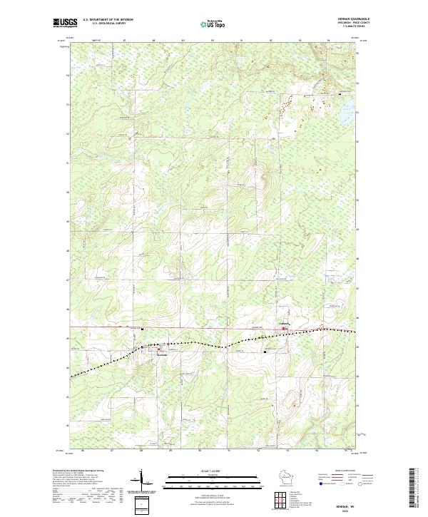
Find a feature on this map
50 named features on this map. Tap any name to fly to it.
Don’t see what you’re looking for? This feature index may not catch every label — zoom into the map to look around manually.
Map Details
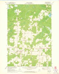
Editions of this 1945 Kennan Map
This is the sole edition of this map. No revisions or reprints were ever made.
Historical Maps of Hawkins Through Time
4 maps found