
Loading...
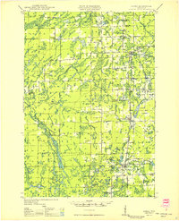
Loading map...1944 Map of Ogema
USGS Topo · Published 1944About this map
The town of Ogema serves as the central hub of this 1940s landscape, situated along the Minneapolis St Paul and Sault Ste Marie RR and State Highway 13. The area is characterized by a dense network of rural schoolhouses, including Wildwood Sch, Maple Grove Sch, and Sunnyside Sch, which reflect a period of dispersed agricultural and timber-based settlement. To the south, the boundary of the Chequamegon National Forest marks the transition into more protected timberlands.
Find a feature on this map
32 named features on this map. Tap any name to fly to it.
Don’t see what you’re looking for? This feature index may not catch every label — zoom into the map to look around manually.
Map Details
Date Portrayed1944
Date Published1944
PublisherU.S. Geological Survey
Map TypeTopographic
Scale1:48,000
Physical Dimensions17.78 x 26.28 inches
Editions of this 1944 Ogema Map
This is the sole edition of this map. No revisions or reprints were ever made.
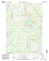
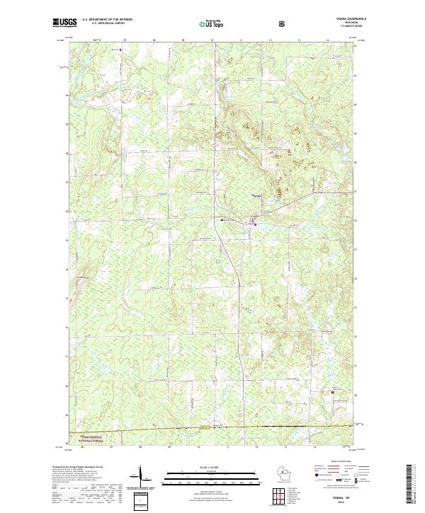
Historical Maps of Ogema Through Time
6 maps found


Featured Locations
Source Details
SourceU.S. Geological Survey
CopyrightPublic Domain