
Loading...
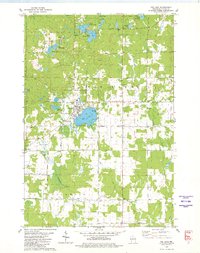
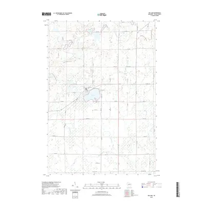
Loading map...1947 Map of Rib Lake
USGS Topo · Published 1956About this map
The village of Rib Lake serves as the primary hub in this postwar Wisconsin landscape, where the local economy and geography are defined by a dense network of water bodies and timber-related infrastructure. The map reveals a transition from active logging to established rural settlements, noted by the presence of numerous small district schools such as Fawn Valley Sch and Rib River Sch that once served the families of the cutover region.
Find a feature on this map
79 named features on this map. Tap any name to fly to it.
Don’t see what you’re looking for? This feature index may not catch every label — zoom into the map to look around manually.
Map Details
Date Portrayed1947
Date Published1956
PublisherU.S. Geological Survey
Map TypeTopographic
Scale1:48,000
Physical Dimensions22.1 x 27.4 inches
Editions of this 1947 Rib Lake Map
This is the sole edition of this map. No revisions or reprints were ever made.
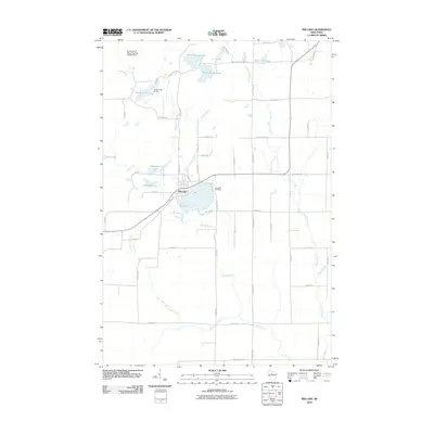
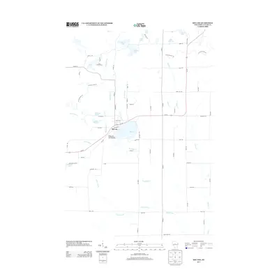
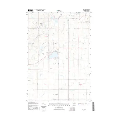
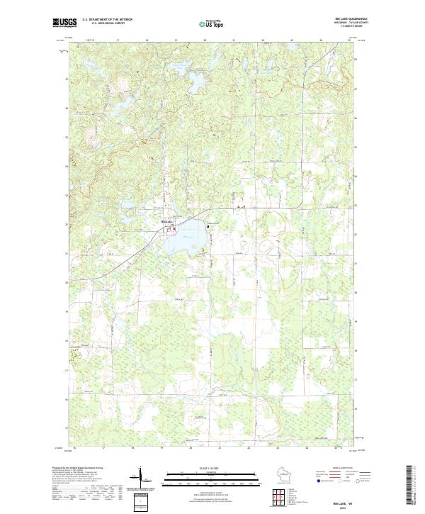
Historical Maps of Rib Lake Through Time
9 maps found


Featured Locations
Source Details
SourceU.S. Geological Survey
CopyrightPublic Domain