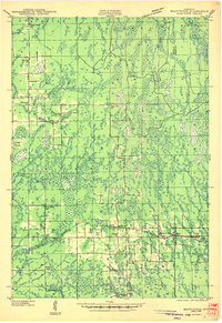
1943 Map of Brantwood
USGS Topo · Published 1943About this map
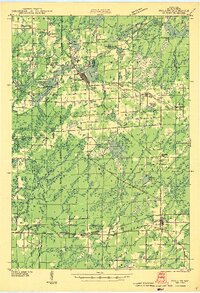
The Minneapolis St Paul and Sault Ste Marie railroad corridor defines the southern landscape of this Wisconsin region during the early 1940s, connecting small rail stops like Brantwood, Clifford, and Maxwell. This era shows a distributed rural society organized around school districts and township halls, with numerous small schools such as the Lone Corner Sch and Viola Villa Sch serving isolated farmsteads and timber tracts. The northern half of the area is dominated by the Chequamegon National Forest, where the headwaters of the Somo River and Elk River systems navigate through a complex network of wetlands and creeks.
Find a feature on this map
54 named features on this map. Tap any name to fly to it.
Don’t see what you’re looking for? This feature index may not catch every label — zoom into the map to look around manually.
Map Details
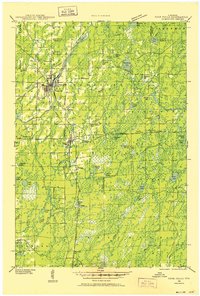
Editions of this 1943 Brantwood Map
2 editions found

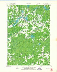
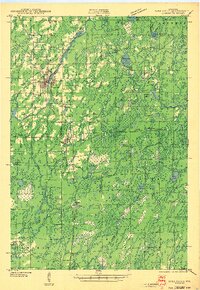
Other maps of this area

1938 · Lac Du Flambeau
USGS Topo · 1:48,000

1939 · Lac Du Flambeau
USGS Topo · 1:48,000

1939 · Mc Cord
USGS Topo · 1:48,000
1941 · Park Falls
USGS Topo · 1:48,000

1941 · Pike Lake
USGS Topo · 1:48,000
1941 · Phillips
USGS Topo · 1:48,000

1941 · Brantwood
USGS Topo · 1:48,000

1942 · Pike Lake
USGS Topo · 1:48,000
1943 · Park Falls
USGS Topo · 1:48,000
1943 · Philliips
USGS Topo · 1:48,000