Old Maps of Lynne, Wisconsin
Explore 35 old maps of Lynne, spanning from 1939 to today. These high-resolution historic maps reveal how streets, neighborhoods, landmarks, and natural features evolved over time — perfect for genealogy, metal detecting, research, and local history exploration.
What you can do with these maps:
- See how Lynne changed over time: Compare historical maps to modern-day views to trace roads, homesites, rail lines & more.
- View detailed metadata: Each map includes creators, publishers, year, scale, and archive source.
- Overlay maps with satellite & LiDAR: Visualize the past alongside modern tools to explore terrain & human change.
- Trusted historical sources: Maps sourced from the USGS, Library of Congress, and other archives.
- Access maps your way: View online, download high-res files, or order prints for personal or research use.
Start exploring old maps of Lynne to uncover forgotten places, hidden landmarks, and the deep history beneath your feet.
Lynne, WI maps
(35)- 1939 Map of Mc Cord
 1939 Mc Cord1939 Print · USGSOneida and Lincoln counties come into focus during the late 1930s as a land of timber, railroads, and nascent reservoirs. Genealogists and local historians can trace the foundations of settlements like Clifford and Tripoli or locate vanished rural schoolhouses such as Somo Lake Sch and Kelly Sch.3 unique versions available
 - 1941 Map of Brantwood, 1971 Print
 1941 Brantwood1971 Print · USGSNorth-central Wisconsin is captured here in the early 1940s as a landscape of timber and rail-line settlements. You can trace the rural school system through Lone Corner Sch and Dover 3-E Sch, or locate family sites at Emery Cem and Brantwood.
 - 1943 Map of Brantwood
 1943 Brantwood1943 Print · USGSPrice and Oneida counties are shown here just after the start of the war, when the Minneapolis St Paul and Sault Ste Marie rail line anchored a series of rural timber and farming hamlets. Genealogists can locate numerous local landmarks like St Marys Cem, the Knox Mills Sch, and the vanished site of Jordan.2 unique versions available
 - 1947 Map of Mc Cord
 1947 Mc Cord1947 Print · USGSOneida and Lincoln counties come into focus during the late 1930s and 1940s as a landscape of timber, rail, and water. Genealogists and historians can locate rural schoolhouses like Lund Sch, the CCC Camp at Mc Cord, and the Prairie Rapids Ch.
 - 1953 Map of Rice Lake, 1967 Print
 1953 Rice Lake1967 Print · USGSNorthwest Wisconsin during the mid-fifties reveals a landscape defined by timber, rail, and water. Genealogists and historians can trace the development of river towns like Ladysmith and Rice Lake along the Soo Line and Chicago and North Western railroads.2 unique versions available
 - 1954 Map of Iron Mountain, 1964 Print
 1954 Iron Mountain1964 Print · USGSUpper Michigan and Northeastern Wisconsin are shown in detail during the mid-fifties, when the logging and mining economies still moved by rail. Trace the rail lines of the Soo Line to remote stops like Koepenick Station or explore the Iron Range near Iron Mountain.2 unique versions available
 - 1959 Map of Rice Lake
 1959 Rice Lake1959 Print · USGSNorthwest Wisconsin in the late fifties was a land of expanding road networks and deep-seated timber history. Genealogists and historians can trace rail lines like the Soo Line RR and Chicago St Paul Minneapolis and Omaha Ry as they link settlements from Spooner to Medford.
 - 1959 Map of Iron Mountain
 1959 Iron Mountain1959 Print · USGSThe northwoods of Wisconsin and the Michigan border are captured here in the mid-fifties, showing a landscape defined by timber, water, and rail. Researchers can trace historic junctions like Hiles Junction, the expansive Nicolet National Forest, and lakefront settlements from Rhinelander to Tomahawk.2 unique versions available
 - 1971 Map of Pier Lake, 1973 Print
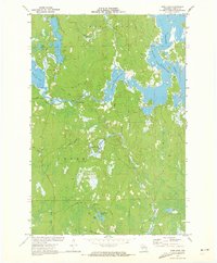 1971 Pier Lake1973 Print · USGSOneida County's western lakes and timberlands are captured here in the early seventies, showing a landscape shaped by the Willow Reservoir. Genealogists and local historians can trace the remote St Francis of Assisi Ch and old forest routes like Thunder Creek Road and Pier Lake Road.2 unique versions available
 - 1971 Map of Tripoli, 1973 Print
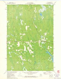 1971 Tripoli1973 Print · USGSThe town of Tripoli and the surrounding woodlands come alive in this early 1970s survey of the Oneida and Lincoln county line. Researchers can trace the path of the SOO LINE railroad or locate local landmarks like the Wilson School and the shores of Somo Lake.
 - 1979 Map of Brantwood, 1980 Print
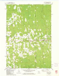 1979 Brantwood1980 Print · USGSThe Northwoods landscape near the Price and Oneida county lines is captured here in the late seventies, centered on the Soo Line rail corridor. Genealogists and local historians can trace old homesteads and community sites like the Finnish Cem, Tripoli Sch, and the settlement of Brantwood.
 - 1980 Map of Thunder Creek
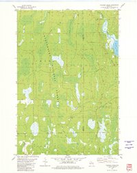 1980 Thunder Creek1980 Print · USGSPrice and Oneida counties are captured in the late seventies, showing a landscape defined by the deep woods of the Chequamegon National Forest. Researchers can trace the path of the Old Railroad Grade and locate features like Dover or the winding Willow River.3 unique versions available
 - 1980 Map of Park Falls
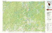 1980 Park Falls1980 Print · USGSNorthern Wisconsin's timber and rail corridor is meticulously detailed here in the early eighties. Researchers can trace the Soo Line through forest-bound towns like Park Falls, Phillips, and Lugerville while exploring the vast Chequamegon National Forest.
 - 1989 Map of Rhinelander, 1990 Print
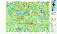 1989 Rhinelander1990 Print · USGSThe Wisconsin Northwoods are captured here in the late eighties, showing a landscape defined by water and timber management. Researchers can trace the Soo Line rail corridors and find local landmarks like Rainbow Flowage, Pelican Lake, and the Rhinelander-Oneida Co Airport.
 - 2005 Map of Thunder Creek, 2006 Print
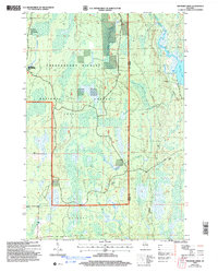 2005 Thunder Creek2006 Print · USGSNorthwoods timber and wetlands define this Price County landscape at the turn of the millennium. Researchers can trace the remote settlement of Dover and find old routes like Turcott Road near the banks of Willow Lake.
 - 2010 Map of Tripoli, 2010 Print
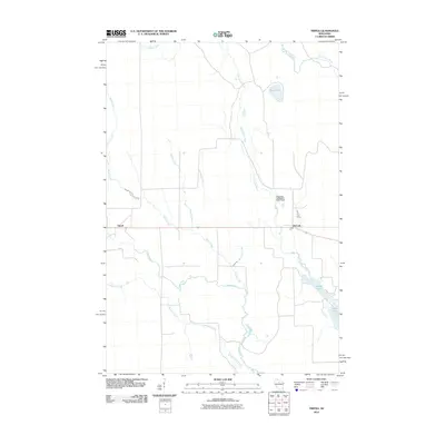 2010 Tripoli2010 Print · USGSThe rural corridor of Lincoln County is documented here at the start of the decade, centered on the small settlements of Tripoli and McCord. Researchers can trace the winding paths of the Somo River and Little Somo River or locate the Shot and Hook Club E3870 Dam.
 - 2010 Map of Pier Lake, 2010 Print
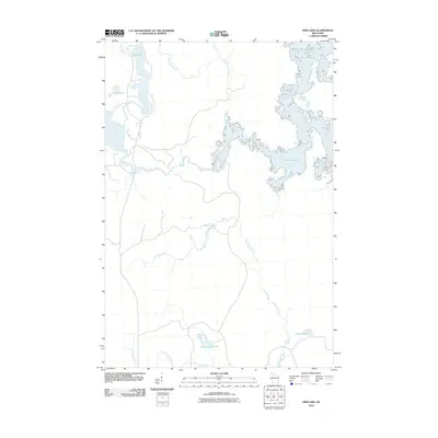 2010 Pier Lake2010 Print · USGSOneida County's Northwoods are captured here in the early 2000s, showcasing a labyrinth of glacial lakes and managed waterways. Researchers can trace the sprawling shores of Willow Reservoir and find remote water bodies like Pier Lake and Muskellunge Lake.
 - 2010 Map of Brantwood, 2010 Print
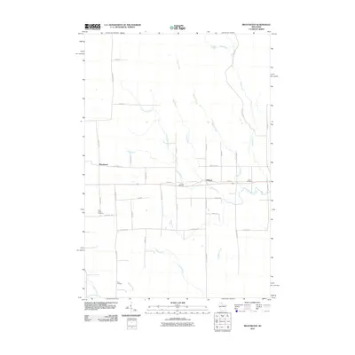 2010 Brantwood2010 Print · USGSNorthern Wisconsin's timber and farming country is detailed here during the early twenty-first century. Researchers can locate family homesteads near the Finnish Cemetery or trace the winding courses of the Somo River and Somo Creek.
 - 2011 Map of Thunder Creek, 2011 Print
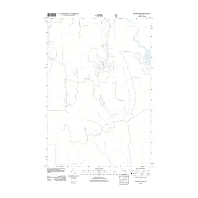 2011 Thunder Creek2011 Print · USGSThe northern Wisconsin woods near Minocqua are mapped here in the early 2000s, showing a landscape defined by forestry and river systems. Trace the backroads of Oneida County along Dave Wrights Rd or explore the shores of Willow Lake and Stony Creek.
 - 2013 Map of Brantwood, 2013 Print
 2013 Brantwood2013 Print · USGSOneida County's rural character is on full display in the early twenty-first century, showing the established communities of Brantwood and Clifford. Genealogists and local historians can trace family-named routes and waterways like Kauhava Rd, Somo River, and Meadow Brook.
 - 2013 Map of Thunder Creek, 2013 Print
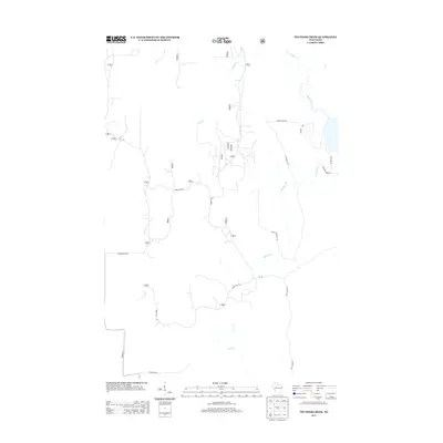 2013 Thunder Creek2013 Print · USGSThis Oneida County forestland is shown in the early twenty-first century as a complex network of timber access and local rural routes. Researchers can trace land use patterns and family-named landmarks like Dave Wrights Rd and the course of the Willow River.
 - 2013 Map of Tripoli, 2013 Print
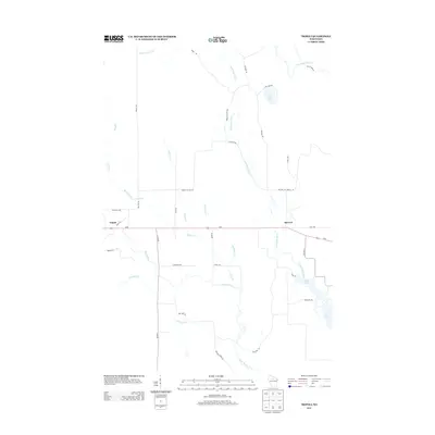 2013 Tripoli2013 Print · USGSThe river networks of Lincoln County take center stage in this 2010s-era study of the Northwoods. You can trace the rural layout of Tripoli and McCord while following the paths of the Somo River and Little Rice River.
 - 2013 Map of Pier Lake, 2013 Print
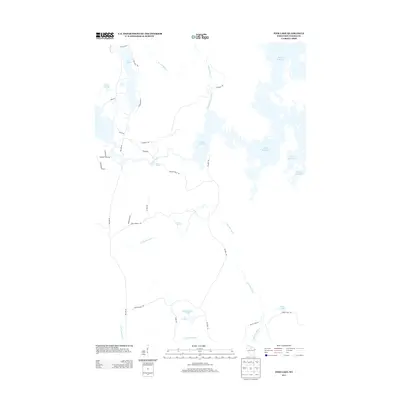 2013 Pier Lake2013 Print · USGSThe Wisconsin Northwoods are documented here in the early twenty-first century, showing a vast network of glacial lakes and reservoirs. Outdoor historians and researchers can trace the shorelines of Willow Reservoir or locate remote landmarks like Willow Rapids and Lamer Springs.
 - 2015 Map of Pier Lake, 2015 Print
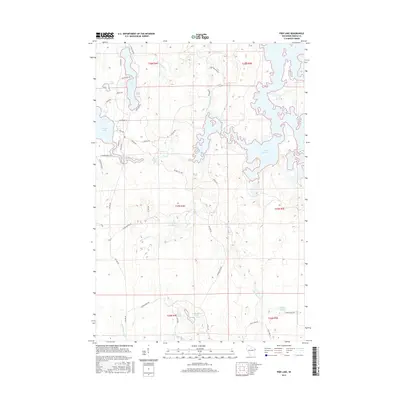 2015 Pier Lake2015 Print · USGSOneida County's intricate water network is charted here during the mid-2010s, centered on the sprawling Willow Reservoir and its surrounding wetlands. Researchers can trace the courses of the Little Rice River and Little Somo River or locate family-named landmarks like Rozell Rd and Turner Springs.
 - 2015 Map of Tripoli, 2015 Print
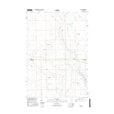 2015 Tripoli2015 Print · USGSNorthern Wisconsin's timber and water networks are on full display in the mid-2010s, spanning the border of Oneida and Lincoln counties. Genealogists and local historians can trace family land via Wilson School Dr or locate the settlements of Tripoli and McCord along the Somo River corridor.
Showing maps 1-25 of 35
Top cities near Lynne
- Minocqua historical maps
- Tomahawk historical maps
- Bradley historical maps
- Hazelhurst historical maps
- Fifield historical maps
- Spirit historical maps
Top neighborhoods of Lynne
Frequently asked questions
- What are the different types of historical maps available for Lynne?
- What is the oldest map of Lynne?
- Where can I purchase historical maps of Lynne for my home or office?
- Where can I download high-res historical maps of Lynne?
- Are there historical topographic maps available for Lynne?
- Is there historical aerial imagery available for Lynne?
- Where are historical maps of Lynne sourced from?