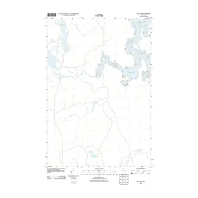
2010 Map of Pier Lake
USGS Topo · Published 2010About this map
Willow Reservoir dominates the eastern expanse of this northern Wisconsin landscape, where its irregular shoreline meets the inflow of the Tomahawk River. The terrain is defined by an intricate network of glacial waterways and small lakes, including the namesake Pier Lake and its northern neighbor Bootjack Creek. This area of Oneida County remains largely unpopulated, focused instead on the complex hydrography of the Willow River and its several tributaries.
Find a feature on this map
12 named features on this map. Tap any name to fly to it.
Don’t see what you’re looking for? This feature index may not catch every label — zoom into the map to look around manually.
Map Details
Editions of this 2010 Pier Lake Map
This is the sole edition of this map. No revisions or reprints were ever made.
Other maps of this area

1938 · Lac Du Flambeau
USGS Topo · 1:48,000

1939 · Lac Du Flambeau
USGS Topo · 1:48,000

1939 · Mc Cord
USGS Topo · 1:48,000

1941 · Pike Lake
USGS Topo · 1:48,000

1941 · Brantwood
USGS Topo · 1:48,000

1942 · Pike Lake
USGS Topo · 1:48,000

1943 · Brantwood
USGS Topo · 1:48,000

1946 · Lac Du Flambeau
USGS Topo · 1:48,000

1947 · Mc Cord
USGS Topo · 1:48,000

1950 · Pike Lake
USGS Topo · 1:48,000