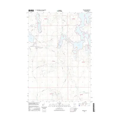
2015 Map of Pier Lake
USGS Topo · Published 2015About this map
The Willow Reservoir dominates the eastern landscape of this Oneida County region, where the Little Rice River and Swamsauger Creek feed into its expansive waters. This 2015 record shows a wilderness heavily defined by its hydrography, from the central flow of the Willow River near Willow Rapids to the smaller, more isolated basins of Lake Junnie and Pier Lake in the northwest.
Find a feature on this map
46 named features on this map. Tap any name to fly to it.
Don’t see what you’re looking for? This feature index may not catch every label — zoom into the map to look around manually.
Map Details
Editions of this 2015 Pier Lake Map
This is the sole edition of this map. No revisions or reprints were ever made.
Other maps of this area

1938 · Lac Du Flambeau
USGS Topo · 1:48,000

1939 · Lac Du Flambeau
USGS Topo · 1:48,000

1939 · Mc Cord
USGS Topo · 1:48,000

1941 · Pike Lake
USGS Topo · 1:48,000

1941 · Brantwood
USGS Topo · 1:48,000

1942 · Pike Lake
USGS Topo · 1:48,000

1943 · Brantwood
USGS Topo · 1:48,000

1946 · Lac Du Flambeau
USGS Topo · 1:48,000

1947 · Mc Cord
USGS Topo · 1:48,000

1950 · Pike Lake
USGS Topo · 1:48,000