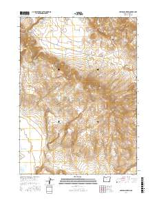
2017 Map of Hawks Mountain
USGS Topo · Published 2017About this map
Hawks Mountain and the high desert terrain of Harney County define this landscape, where survival is dictated by scattered water sources. The map reveals a network of vital livestock or wildlife resources, including Horn Waterhole, Billfold Waterhole, and Ham Waterhole. These named water features, along with Scotts Cache Spring and White Cache Spring, suggest a history of seasonal grazing and ranching transit across the arid basin.
Find a feature on this map
22 named features on this map. Tap any name to fly to it.
Don’t see what you’re looking for? This feature index may not catch every label — zoom into the map to look around manually.
Map Details
Editions of this 2017 Hawks Mountain Map
This is the sole edition of this map. No revisions or reprints were ever made.
Other maps of this area

1886 · Disaster
USGS Topo · 1:250,000

1889 · Long Valley
USGS Topo · 1:250,000

1893 · Disaster
USGS Topo · 1:250,000

1954 · Vya
USGS Topo · 1:250,000

1955 · Adel
USGS Topo · 1:250,000

1957 · Adel
USGS Topo · 1:250,000

1958 · Vya
USGS Topo · 1:250,000

1958 · Adel
USGS Topo · 1:250,000

1962 · Vya
USGS Topo · 1:250,000

1962 · Adel
USGS Topo · 1:250,000