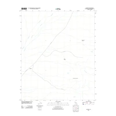
2012 Map of Hayden
USGS Topo · Published 2012About this map
Hayden serves as the primary landmark in this desert landscape within San Bernardino County, situated where Kelso Cima Rd cuts through the arid terrain. The drainage patterns of the Mojave are clearly defined by the parallel courses of Kelso Wash and Cedar Wash, which track across the northern section of the sheet. To the east, the topography rises into the Providence Mountains, where isolated water sources like Macedonia Spring, Bolder Spring, and the uniquely named Tough Nut Spring are vital features in this dry environment. Access into the upland areas is marked by Globe Mine Rd, which leads toward the recesses of Globe Canyon. This 2012 survey illustrates the sparse but critical infrastructure of the high desert, emphasizing the connection between few established roads and the natural water points found in the surrounding canyons.
Find a feature on this map
13 named features on this map. Tap any name to fly to it.
Don’t see what you’re looking for? This feature index may not catch every label — zoom into the map to look around manually.
Map Details
Editions of this 2012 Hayden Map
This is the sole edition of this map. No revisions or reprints were ever made.
Other maps of this area

1910 · Ivanpah
USGS Topo · 1:250,000

1912 · Ivanpah
USGS Topo · 1:250,000

1942 · Ivanpah
USGS Topo · 1:250,000

1942 · Amboy
USGS Topo · 1:250,000

1943 · Amboy
USGS Topo · 1:250,000

1947 · Kingman
USGS Topo · 1:250,000

1948 · Kingman
USGS Topo · 1:250,000

1954 · Needles
USGS Topo · 1:250,000

1954 · Kingman
USGS Topo · 1:250,000

1955 · Kingman
USGS Topo · 1:250,000