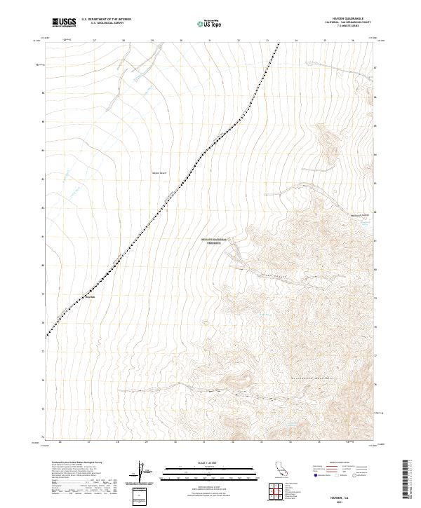
2021 Map of Hayden
USGS Topo · Published 2021About this map
Hayden and the surrounding desert landscape are defined by the convergence of the Mojave National Preserve and the steep eastern slopes of the Providence Mountains. This arid expanse in the Mojave Desert is characterized by its vital water sources, including Macedonia Spring and Bolder Spring, which contrast with the dry alluvial pathways of Kelso Wash and Cedar Wash. The diagonal traverse of the Kelso-Cima Road serves as the primary artery through this high-elevation terrain, connecting the settlement at Hayden with the rugged interior of the preserve.
Find a feature on this map
17 named features on this map. Tap any name to fly to it.
Don’t see what you’re looking for? This feature index may not catch every label — zoom into the map to look around manually.
Map Details
Editions of this 2021 Hayden Map
This is the sole edition of this map. No revisions or reprints were ever made.
Other maps of this area

1910 · Ivanpah
USGS Topo · 1:250,000

1912 · Ivanpah
USGS Topo · 1:250,000

1942 · Ivanpah
USGS Topo · 1:250,000

1942 · Amboy
USGS Topo · 1:250,000

1943 · Amboy
USGS Topo · 1:250,000

1947 · Kingman
USGS Topo · 1:250,000

1948 · Kingman
USGS Topo · 1:250,000

1954 · Needles
USGS Topo · 1:250,000

1954 · Kingman
USGS Topo · 1:250,000

1955 · Kingman
USGS Topo · 1:250,000