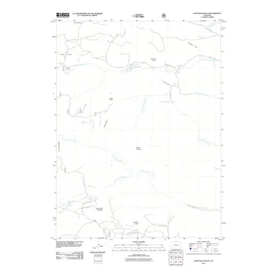
2011 Map of Haystack Gulch
USGS Topo · Published 2011About this map
Red Feather Highlands and the settlement of Log Cabin anchor the southern reach of this Larimer County landscape, where the terrain is defined by a series of branching water systems and prominent summits. Three forks of Rabbit Creek—North Fork Rabbit Creek, Middle Fork Rabbit Creek, and South Fork Rabbit Creek—parallel the higher elevations of Blacktail Point and Sheep Mountain.
Find a feature on this map
41 named features on this map. Tap any name to fly to it.
Don’t see what you’re looking for? This feature index may not catch every label — zoom into the map to look around manually.
Map Details
Editions of this 2011 Haystack Gulch Map
This is the sole edition of this map. No revisions or reprints were ever made.
Other maps of this area

1907 · Livermore
USGS Topo · 1:125,000

1909 · Livermore
USGS Topo · 1:125,000

1916 · Home
USGS Topo · 1:125,000

1920 · Home
USGS Topo · 1:125,000

1954 · Greeley
USGS Topo · 1:250,000

1957 · Greeley
USGS Topo · 1:250,000

1958 · Greeley
USGS Topo · 1:250,000

1960 · Haystack Gulch
USGS Topo · 1:24,000

1960 · Livermore Mountain
USGS Topo · 1:24,000

1961 · Greeley
USGS Topo · 1:250,000