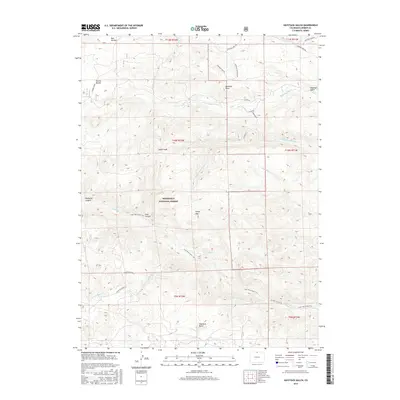
2016 Map of Haystack Gulch
USGS Topo · Published 2016About this map
Roosevelt National Forest dominates this landscape in Larimer County, defined by its intricate drainage systems and high-altitude terrain features. The map illustrates a network of seasonal and perennial waterways, including the three forks of Rabbit Creek and the multiple branches of Lone Pine Creek. These drainages have carved out distinctive geological formations such as Teakettle Canyon and Hole Canyon.
Find a feature on this map
36 named features on this map. Tap any name to fly to it.
Don’t see what you’re looking for? This feature index may not catch every label — zoom into the map to look around manually.
Map Details
Editions of this 2016 Haystack Gulch Map
This is the sole edition of this map. No revisions or reprints were ever made.
Other maps of this area

1907 · Livermore
USGS Topo · 1:125,000

1909 · Livermore
USGS Topo · 1:125,000

1916 · Home
USGS Topo · 1:125,000

1920 · Home
USGS Topo · 1:125,000

1954 · Greeley
USGS Topo · 1:250,000

1957 · Greeley
USGS Topo · 1:250,000

1958 · Greeley
USGS Topo · 1:250,000

1960 · Haystack Gulch
USGS Topo · 1:24,000

1960 · Livermore Mountain
USGS Topo · 1:24,000

1961 · Greeley
USGS Topo · 1:250,000