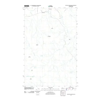
2011 Map of Haystack Mountain
USGS Topo · Published 2011About this map
Day Creek sits at the northern edge of this high-relief landscape in Skagit County, where the transition from river valley to the Cultus Mountains is defined by a dense network of drainages. The local economy is represented by the Day Creek Sand and Gravel Quarry near the junction of Walberg Rd and S Skagit Hwy. Moving south, the terrain rises sharply toward Haystack Mountain and Talc Mountain, interrupted by high-elevation water bodies like Dixie Lake and R B Lake. The map reveals a complex system of seasonal and perennial streams, including Sorenson Creek and Rocky Creek, which have carved deep features like Rocky Canyon. This 2011 survey documents a mix of industrial resource extraction and remote natural landmarks such as Split Rock and Table Mountain.
Find a feature on this map
32 named features on this map. Tap any name to fly to it.
Don’t see what you’re looking for? This feature index may not catch every label — zoom into the map to look around manually.
Map Details
Editions of this 2011 Haystack Mountain Map
This is the sole edition of this map. No revisions or reprints were ever made.
Other maps of this area

1899 · Stillaguamish
USGS Topo · 1:125,000

1901 · Stilaguamish
USGS Topo · 1:125,000

1909 · Mt Baker
USGS Topo · 1:192,000

1911 · Mount Vernon
USGS Topo · 1:125,000

1915 · Mt. Baker
USGS Topo · 1:250,000

1921 · Wickersham
USGS Topo · 1:62,500

1944 · Clear Lake
USGS Topo · 1:62,500

1951 · Wickersham
USGS Topo · 1:62,500

1952 · Hamilton
USGS Topo · 1:62,500

1955 · Concrete
USGS Topo · 1:250,000