2022 Map of Hazleton
USGS Topo · Published 2022About this map
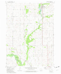
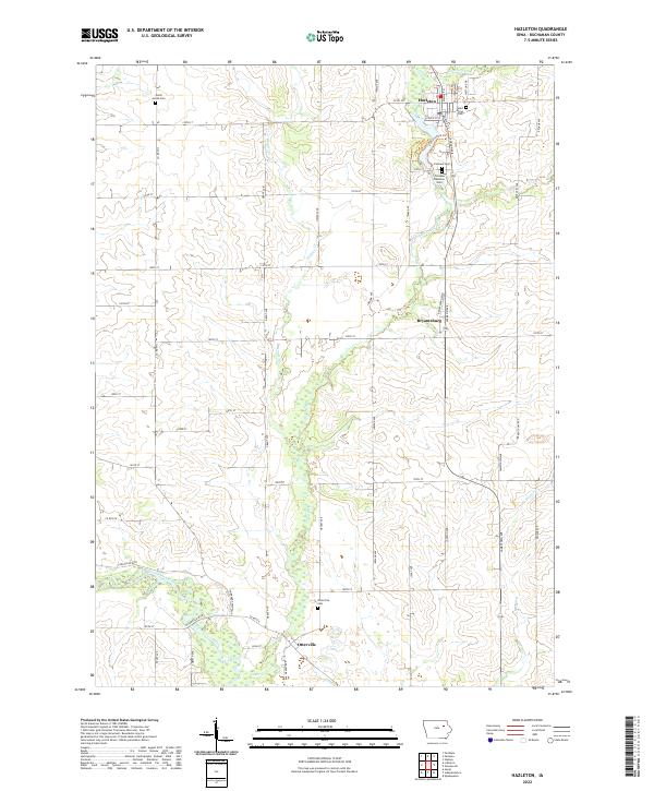
Hazleton and the southern reaches of the Wapsipinicon River define this corner of Buchanan County, where rural life is anchored by several long-standing community centers. The landscape is marked by a network of sectional roads and the meandering paths of Otter Creek and Hunter Cr. Distinct cultural footprints are visible in the distribution of cemeteries, such as the North Amish Cem in the northwest and Saint Marys Cem near the town center. The settlement of Otterville sits near the riverbanks at the southern edge, while the small crossroads of Bryantsburg serves as a waypoint between the larger townships. The presence of the Fontana Park Trl and various Fontana Cem sites suggests a concentrated area of local heritage and recreation near the main thoroughfares of Jackson Ave and Fontana Blvd.
Find a feature on this map
56 named features on this map. Tap any name to fly to it.
Don’t see what you’re looking for? This feature index may not catch every label — zoom into the map to look around manually.
Map Details
Editions of this 2022 Hazleton Map
This is the sole edition of this map. No revisions or reprints were ever made.