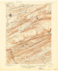
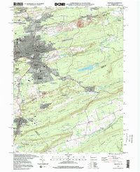
1889 Map of Hazleton
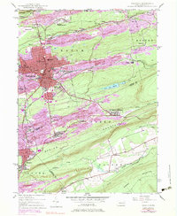
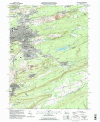
USGS Topo · Published 1956About this map
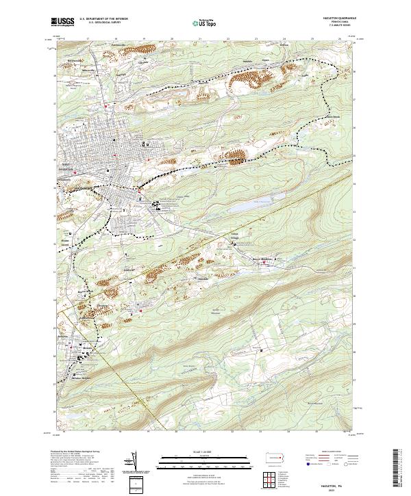
Hazleton stands as the urban anchor of this late 19th-century landscape, surrounded by a dense network of mining settlements and intricate rail lines that define the anthracite coal region. The terrain is characterized by the prominent ridges of Nesquehoning Mountains and Mauch Chunk Mountain, which dictate the paths of the many competing railroads. The Hazleton and Delano Br of Lehigh Val and the Central Railroad of New Jersey weave through narrow valleys and gaps to service busy coal towns like Lansford, Summit Hill, and Coaldale.
Find a feature on this map
62 named features on this map. Tap any name to fly to it.
Don’t see what you’re looking for? This feature index may not catch every label — zoom into the map to look around manually.
Map Details
Editions of this 1889 Hazleton Map
This is the sole edition of this map. No revisions or reprints were ever made.
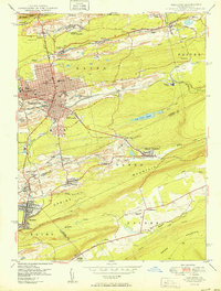
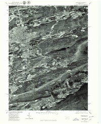
Historical Maps of Hazleton Through Time
9 maps found