
1893 Map of Hazleton
USGS Topo · Published 1893About this map
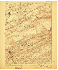
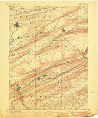
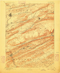
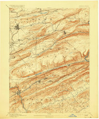
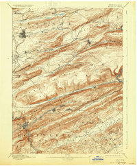
Hazleton stands as the industrial hub of this 1889 survey, surrounded by the intense coal-extraction infrastructure of the Panther Creek Valley. The landscape is defined by its ridge-and-valley topography, with the Nesquehoning Mountains and Mauch Chunk Ridge dictating the path of heavy industry. A complex web of rail lines, including the Mahanoy Branch of Lehigh Valley Railroad and the Nesquehoning Br. of Central Railroad of N.J., serves numerous mining settlements. This map reveals a high density of company towns and patches such as Jeddo, Eckley, and Lansford that flourished before the consolidation of the anthracite fields. Unusual details like the Down Track and Up Track near Summit Hill highlight the specialized gravity-based transport systems once common in this part of Pennsylvania. From the banks of the Lehigh River at Glen Onoko to the rail junction at Tamaqua, the map documents a region entirely transformed by the requirements of the coal economy.
Find a feature on this map
60 named features on this map. Tap any name to fly to it.
Don’t see what you’re looking for? This feature index may not catch every label — zoom into the map to look around manually.
Map Details
Editions of this 1893 Hazleton Map
8 editions found
Other maps of this area

1889 · Hazleton
USGS Topo · 1:62,500

1889 · Pottsville
USGS Topo · 1:62,500

1891 · Wilkesbarre
USGS Topo · 1:62,500

1891 · Hazleton
USGS Topo · 1:62,500

1891 · Pottsville
USGS Topo · 1:62,500

1892 · Mahanoy
USGS Topo · 1:62,500

1893 · Mahanoy
USGS Topo · 1:62,500

1894 · Shickshinny
USGS Topo · 1:62,500

1894 · Wilkesbarre
USGS Topo · 1:62,500

1902 · Slatington
USGS Topo · 1:62,500