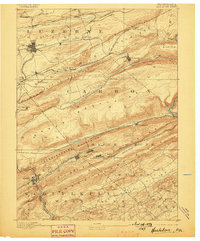
1893 Map of Hazleton
USGS Topo · Published 1898About this map
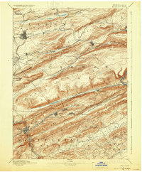
The anthracite coal region of northeastern Pennsylvania is defined here by its intricate network of nineteenth-century railways and ridges. Settlements such as Hazleton, Lansford, and Tamaqua are tightly integrated with the industrial topography of the Nesquehoning Mountains and Mauch Chunk Ridge. The landscape is a corridor of competing rail lines, including the Hazleton and Delano Branch of Lehigh Valley R.R. and the Central Railroad of New Jersey, which navigate the steep terrain to move coal from mountain communities like Summit Hill and Beaver Meadow.
Find a feature on this map
55 named features on this map. Tap any name to fly to it.
Don’t see what you’re looking for? This feature index may not catch every label — zoom into the map to look around manually.
Map Details
Editions of this 1893 Hazleton Map
8 editions found
Other maps of this area

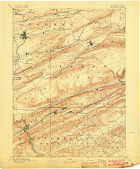
1889 · Hazleton
USGS Topo · 1:62,500

1889 · Pottsville
USGS Topo · 1:62,500

1891 · Wilkesbarre
USGS Topo · 1:62,500

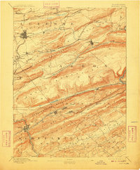
1891 · Hazleton
USGS Topo · 1:62,500

1891 · Pottsville
USGS Topo · 1:62,500

1892 · Mahanoy
USGS Topo · 1:62,500

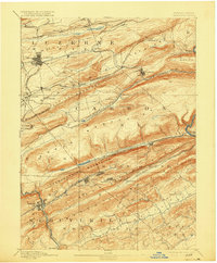
1893 · Hazleton
USGS Topo · 1:62,500

1893 · Mahanoy
USGS Topo · 1:62,500

1894 · Shickshinny
USGS Topo · 1:62,500

1894 · Wilkesbarre
USGS Topo · 1:62,500