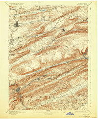
1893 Map of Hazleton
USGS Topo · Published 1930About this map
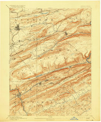
The ridge-and-valley terrain of the Anthracite Coal Region is meticulously documented in this survey by Marcus Baker and R.D. Cummin. Concentrated settlement patterns follow the rich mineral veins found between Buck Mountain and Sharp Mountain, with industrial centers like Hazleton and Tamaqua serving as major hubs. The map reveals the complex late-19th-century rail infrastructure required to transport coal, including the Hazletoin and Delano Br of Lehigh Val and the Nesquehoning Br of Central Railroad of NJ.
Find a feature on this map
50 named features on this map. Tap any name to fly to it.
Don’t see what you’re looking for? This feature index may not catch every label — zoom into the map to look around manually.
Map Details
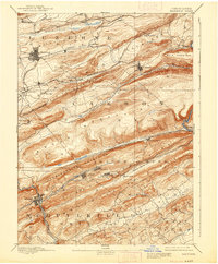
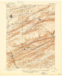
Editions of this 1893 Hazleton Map
8 editions found
Other maps of this area

1889 · Hazleton
USGS Topo · 1:62,500

1889 · Pottsville
USGS Topo · 1:62,500

1891 · Wilkesbarre
USGS Topo · 1:62,500

1891 · Hazleton
USGS Topo · 1:62,500

1891 · Pottsville
USGS Topo · 1:62,500

1892 · Mahanoy
USGS Topo · 1:62,500

1893 · Hazleton
USGS Topo · 1:62,500

1893 · Mahanoy
USGS Topo · 1:62,500

1894 · Shickshinny
USGS Topo · 1:62,500

1894 · Wilkesbarre
USGS Topo · 1:62,500