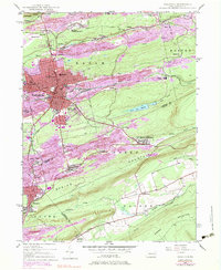
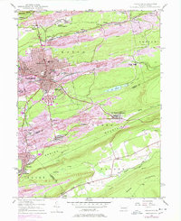
1947 Map of Hazleton
USGS Topo · Published 1983About this map
The heavy industrial landscape of the anthracite coal region dominates this mid-century survey, where the dense urban core of Hazleton and West Hazleton gives way to a sprawling network of patch towns and mining operations. The map illustrates the intense extraction history of the area, with extensive pink-shaded areas indicating a landscape reshaped by human activity. Beyond the city center, satellite settlements like Lattimer Mines (PO), Ebervale, and Coxes Village are interspersed with industrial infrastructure like the Ashmore Yards and the Conrail rail lines that once moved coal through the valley. Natural features like Black Creek and Hazle Creek navigate a terrain defined by ridges such as Banks Mountain and Broad Mountain. Key local institutions, including Hazleton State Hospital and St Josephs Hospital, serve the concentrated population centers during a period of significant regional transition.
Find a feature on this map
60 named features on this map. Tap any name to fly to it.
Don’t see what you’re looking for? This feature index may not catch every label — zoom into the map to look around manually.
Map Details
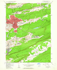
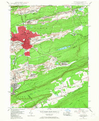
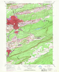
Editions of this 1947 Hazleton Map
5 editions found
Other maps of this area

1889 · Hazleton
USGS Topo · 1:62,500

1891 · Wilkesbarre
USGS Topo · 1:62,500

1891 · Hazleton
USGS Topo · 1:62,500

1892 · Mahanoy
USGS Topo · 1:62,500

1893 · Hazleton
USGS Topo · 1:62,500

1893 · Mahanoy
USGS Topo · 1:62,500

1894 · Shickshinny
USGS Topo · 1:62,500

1894 · Wilkesbarre
USGS Topo · 1:62,500

1943 · Scranton
USGS Topo · 1:125,000

1944 · Newark
USGS Topo · 1:250,000